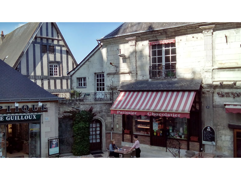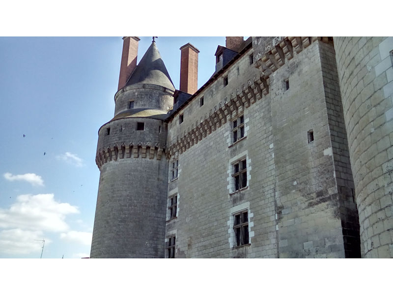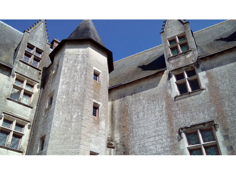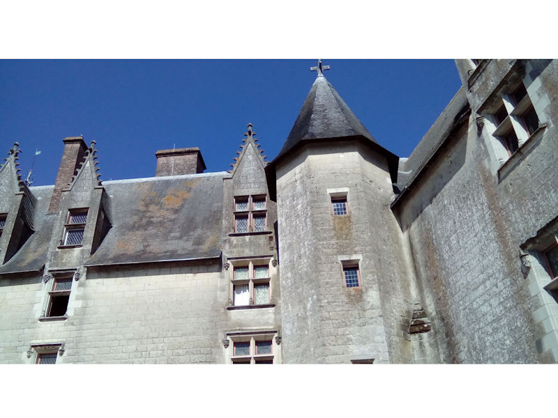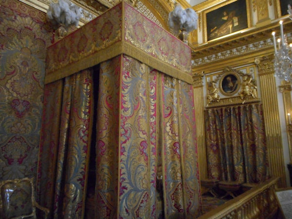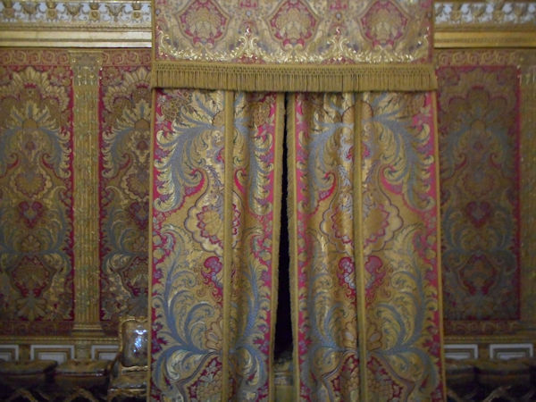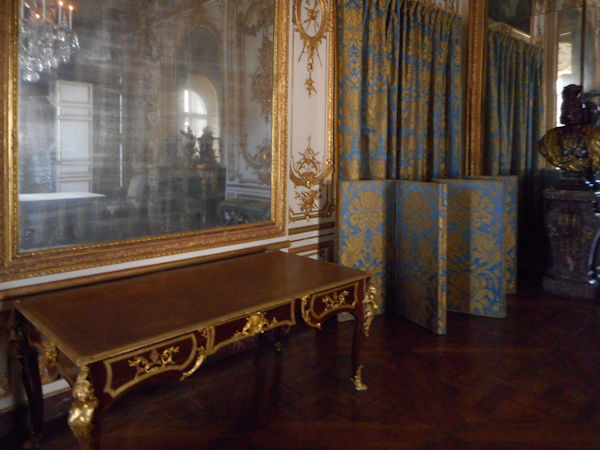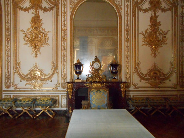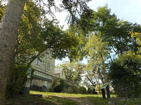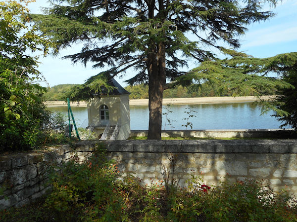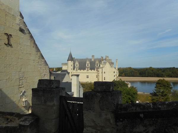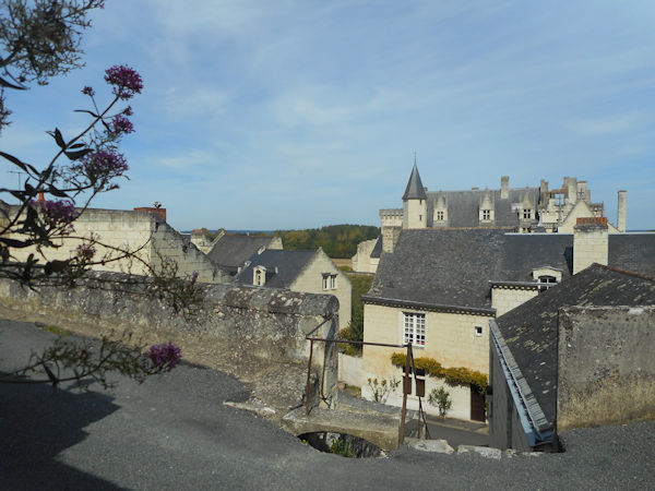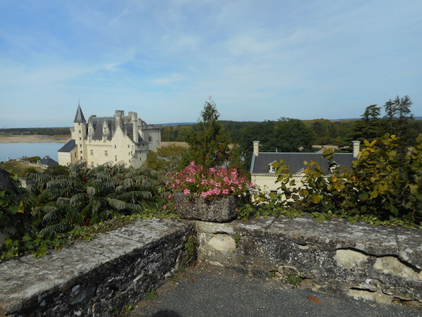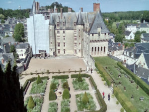
Château de Langeais


The following article from Wikipedia

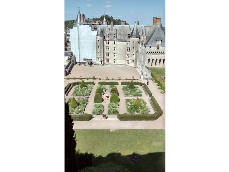
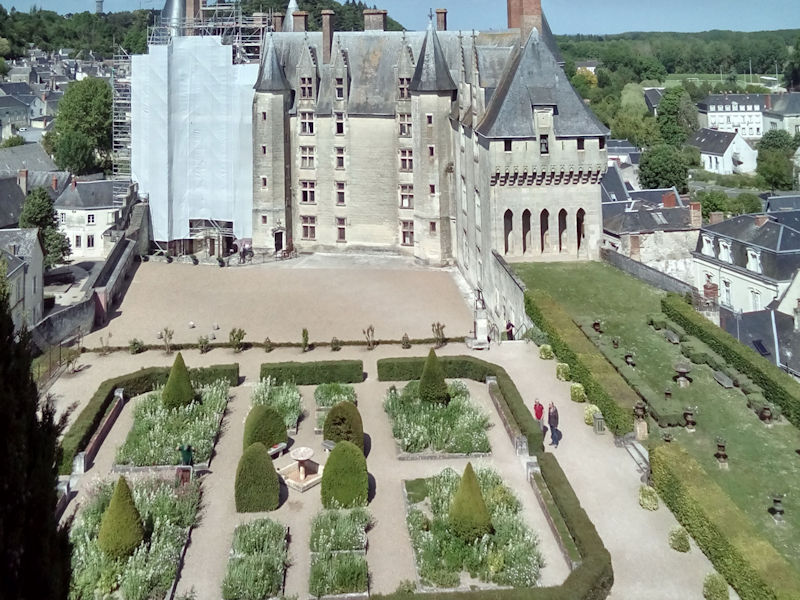
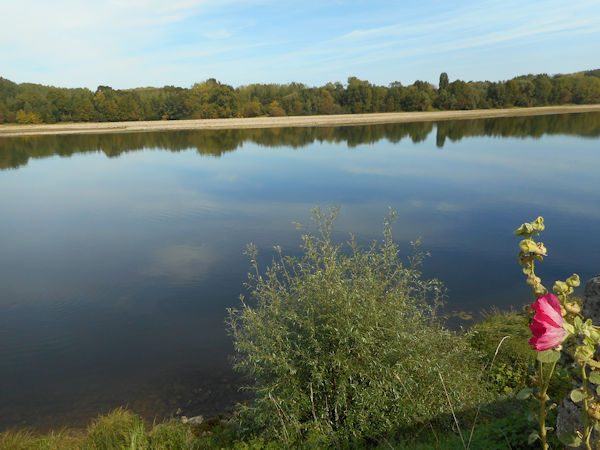
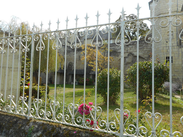
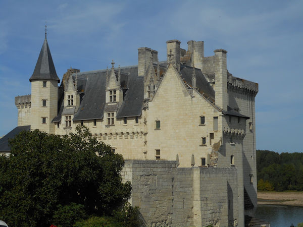
The Château de Langeais is a medieval castle in Indre-et-Loire, France, built on a promontory created by the small valley of the Roumer River at the opening to the Loire Valley. Founded in 992 by Fulk Nerra, Count of Anjou, the castle was soon attacked by Odo I, Count of Blois. After the unsuccessful attack, the now-ruined stone keep was built; it is one of the earliest datable stone examples of a keep. Between 994 and 996 the castle was besieged unsuccessfully twice more. During the conflict between the counts of Anjou and Blois, the castle changed hands several times, and in 1038 Fulk captured the castle again.

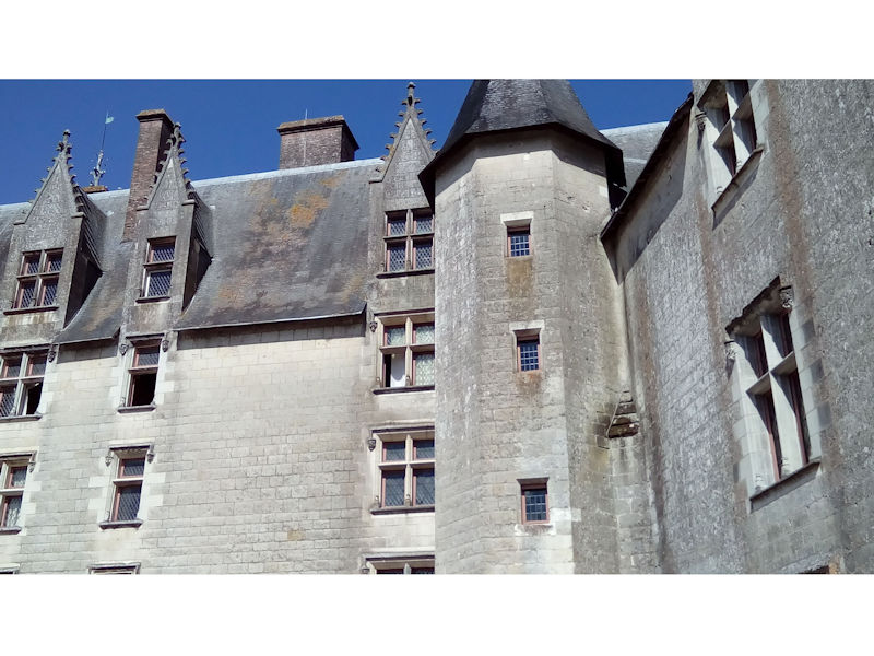
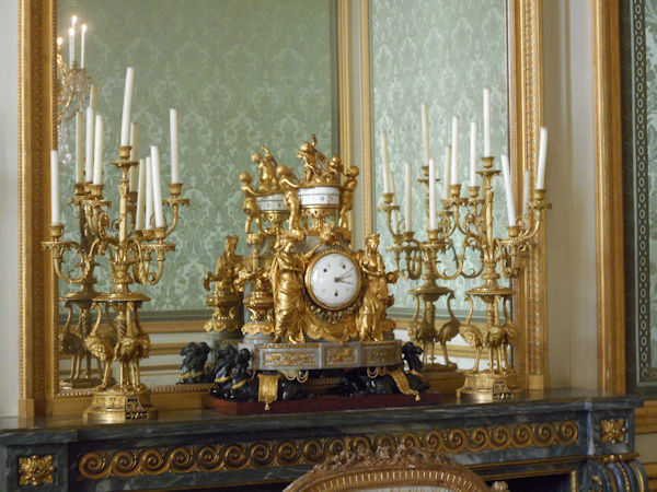
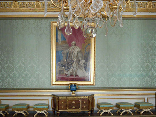
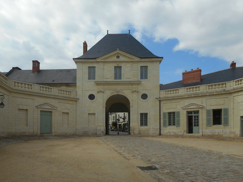
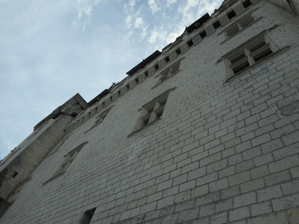
After it was destroyed during the Hundred Years’ War, King Louis XI (1461–1483) rebuilt Château de Langeais into what today is one of the best known examples of late medieval architecture. It is especially noted for its monumental and highly decorated chimney pieces. Restored in the late 19th century, Château de Langeais came under the control of the Institut de France, who own the site today. It is listed as a monument historique by the French Ministry of Culture and is open to the public.

History
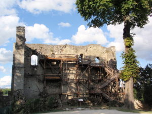
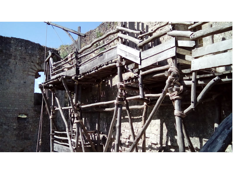
The ruins of the 10th-century keep

The 10th century saw the emergence of the castle, and Château de Langeais is generally thought to be the second earliest known; the earliest is Château de Doué-la-Fontaine built by the Count of Blois around 900. The counts of Anjou and Blois had bordering territories and the powerful lords were rivals; as a result the border area is home to some of the earliest known castles. When it was founded in 992 by Fulk Nerra, Count of Anjou, Château de Langeais was made from wood and took the form of a motte-and-bailey. A contemporary chronicler noted that it was built because “[Fulk] had no resting place between Bourgueil and Amboise along the Loire river”. It also had the advantage of being 24 km (15 mi) from Tours, a town under the control of Odo I, Count of Blois.

While the land belonged to Fulk, the area was under the control of Odo. When news of the fortification reached Odo he despatched a force to carry out its destruction. The attack was unsuccessful and Fulk reinforced the site, building the stone keep that stands in ruins today. To distract Odo from the construction work, which was complete by 994, Fulk carried out intermittent raids on his lands. It has been suggested that the keep’s shallow foundations and thin walls, 2 m (6 ft 7 in) at their thickest and on average 1.5 m (4 ft 11 in), demonstrate that it was built in haste.

Though he was unsuccessful in 992, Odo again tried to capture the castle two years later. This time he called on his Norman, Flemish, Aquitanian allies and the siege of Château de Langeais began in the spring of 994. Fulk led the garrison himself and sent a message to Hugh Capet, King of the Franks, asking for help; and, though Hugh was ill, he promised reinforcements. In the meantime Odo’s numbers grew as his allies continued to flock to him. The siege continued into the summer and Fulk began negotiating with Odo. Richer, a contemporary chronicler favourable to Odo, asserted that Fulk agreed to surrender but later reneged, claiming the agreement was not binding, though it is uncertain whether this was the case. However, the Capetian forces arrived before Fulk was forced to surrender. Faced with the king’s army, Odo agreed to leave Fulk in peace.

After the siege ended and Odo retreated, Fulk had to deal with hostilities along the western frontier of his lands. Despite Odo’s agreement with Hugh, the Count of Blois exploited Fulk’s divided attention to install a force at Château de Châteaudun from which he could move to capture Langeais should the opportunity arise. Odo besieged Château de Langeais in 995. The siege continued into the next year, but in March 996 Odo fell ill and died. With their leader dead, the besieging force left Langeais. With his most troublesome enemy dead, Fulk captured Tours which had previously been held by the Count of Blois. After Robert, King of the Franks took control of Tours, Fulk turned to the castles of Langeais, Montsoreau, Montrésor, and Montbazon to defend the Loire Valley.

Hostilities between the counts of Anjou and Blois were renewed in 1016. During the course of the conflict, Fulk lost control of three castles: Passavant was destroyed and Montbazon and Langeais were probably captured. By 1032 Château de Langeais was back under Fulk’s control, however it was again taken by the forces of Odo II, Count of Blois. Odo II died in battle in 1037 and was succeeded by his son, Theobald; on receiving the news of his rival’s demise, Fulk set about recapturing Château de Langeais. The siege began in the winter of 1037 and in the spring of the following year, with no relief forthcoming, the garrison surrendered. Fulk set his sights on further territorial gains and successfully captured Château de Chinon 22 km (14 mi) away.
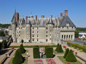
 

Under the Plantagenet kings, the château was fortified and expanded by Richard I of England (King Richard the Lionheart). However, King Philippe II of France recaptured the château in 1206. Eventually though, during the Hundred Years’ War, the English destroyed it. The château was rebuilt about 1465 during the reign of King Louis XI. The great hall of the château was the scene of the marriage of Anne of Brittany to King Charles VIII on December 6, 1491 that made the permanent union of Brittany and France.

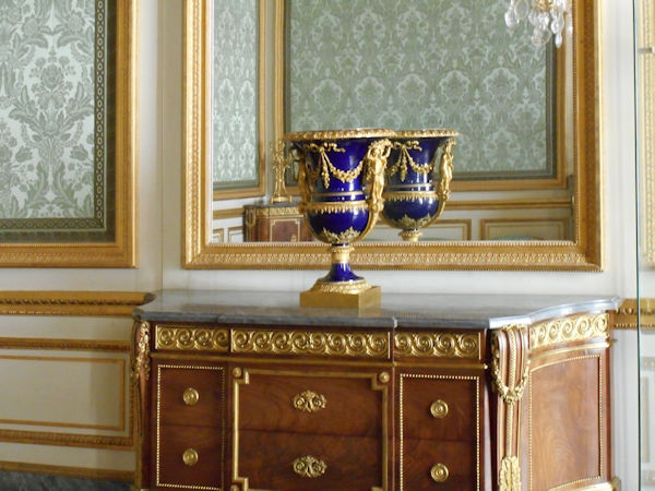
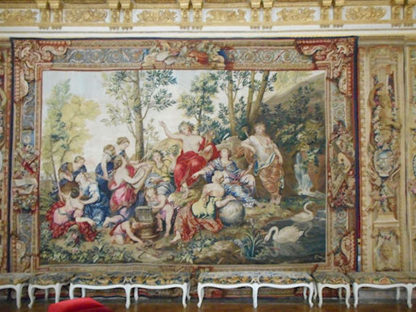
In 1886, Jacques Siegfried bought Château Langeais and began a restoration program. He installed an outstanding collection of tapestries and furnishings and bequeathed the château to the Institut de France which still owns it today. The château is open to the public. It is listed as a monument historique by the French Ministry of Culture.

Layout
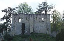
The north-east face of the 10th-century keep

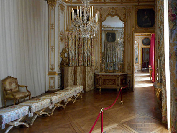
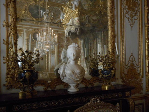
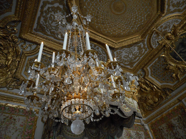
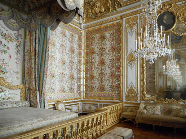
According to contemporaneous chronicler Richer, the castle built by Foulques Nerra in the 990s consisted of a tower and a surrounding enclosure. The 10th-century keep still stands, albeit in a ruinous state. It is the earliest example of Romanesque architecture in the region. It is uncertain where the stone used in construction was quarried. A detailed study has been done on the cost of construction of Langeais tower. The stone tower is 16 metres (52 ft) high, 17.5m wide, and 10m long with walls averaging 1.5m. The walls contain 1,200 cubic metres (42,000 cu ft) of stone and have a total surface (both inside and out) of 1,600 square metres (17,000 sq ft). The tower is estimated to have taken 83,000 average working days to complete, most of which was unskilled labor. The wall enclosing the keep stretched for some 250 m (820 ft). The interior rooms are richly decorated.


CLICK Refresh FOR SLIDES
Wikipedia

Official website


Paris


 Old Maps of Paris

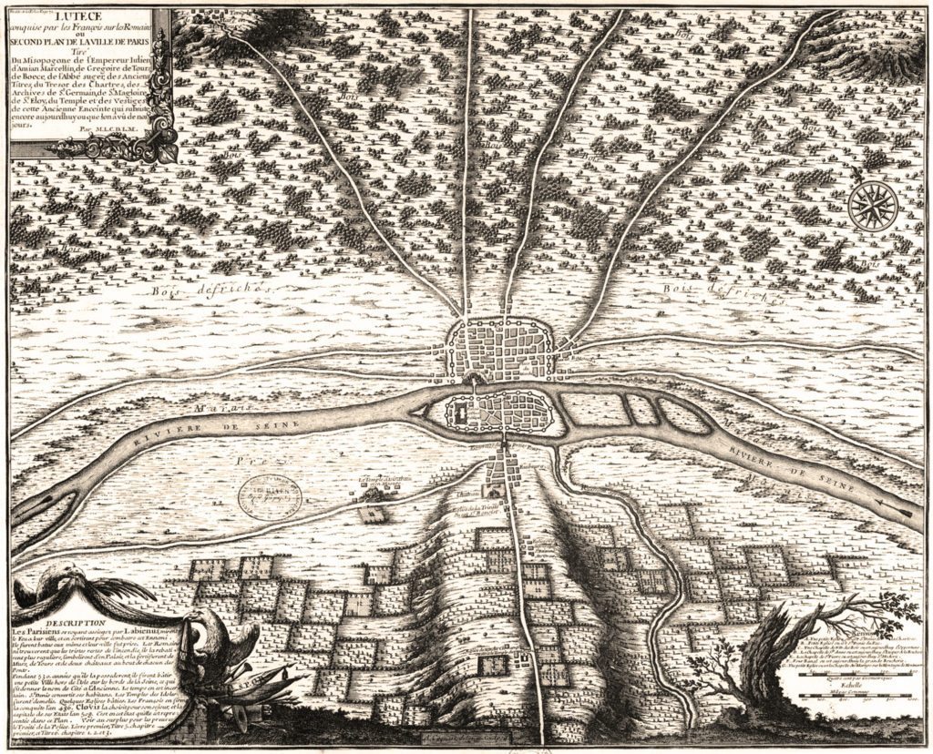
Paris (Lutèce) Circa 508

Clovis I, who in 481 became king at 16 years of age, made Paris his capital in the year 508. Clovis I is considered to be the founder of the Merovingian Dynasty, which ruled the Frankish kingdom for the next 200 years. He was the king of the Franks who would successfully unify all Frankish tribes into one kingdom under one ruler.


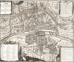
Paris Circa 1422

In 1466, perhaps 40,000 people died of the plague in Paris. During the 16th and 17th centuries, the black plague visited Paris for almost one year out of three.

France is under the rule of House of Valois with the death of Charles VI. After the death of King Charles VI, King Henry VI of England (House of Lancaster), becomes regent of France after the Treaty of Troyes. His rule lasts from 1422 to 1453. At the same time Charles VII also claims the throne with the death of his father.

The House Valois of France rules until 1589 when The House of Bourbon inherits the throne.

Maps after this date will indicate the growth that followed this period.


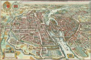
Paris 1615 Plan De Mérain

The construction of the Luxembourg Palace and gardens begins in 1615.


The geography of Paris – from paris-city.fr

Paris, the capital of France and of the Ile de France region, covers a surface area of 105 km² and has a population, according to the last census in 1999, of 2,125,246. At the end of the 20th century, the Paris agglomeration counted 11,131,412 inhabitants, of which 2,147,274 within the city proper.

Parisians make up 19.4% of the population of the Ile de France region (estimated 1st January 2003). The overall population of the region has been in constant decline for over 70 years.


Paris is administrative department 75, and within the department, the city is divided into 20 administrative arrondissements. The arrondissements are set out in the form of a spiral, with the first arrondissement in the centre and the numbers increasing outwards in a clockwise direction.


Paris occupies the heart of a sedimentary basin in the western reaches of the great plains of Northern Europe. In the centre of the fluvial plain of the Seine, the city lies just downstream of the Seine-Marne confluence and upstream of the confluence with the Oise. The naturally occurring waterway crossroads explains the existence and exceptional development over fifteen centuries of this urban pole.

More precisely, Paris formed around the l’île de la Cité at the junction of two great waterways. The north-south axis weaves between the hills of Montmartre and Belleville over the hillock of la Chapelle, the gateway to gares du Nord et de l’Est and the Saint-Martin canal.
At Châtelet in the centre, the east-west axis runs alongside the Seine on the right bank, through la Bastille, the Louvre and the Champs-Élysées, over to the suburbs in Chaillot and beyond, la Défense.From there, the axis runs along Rue Saint-Martin and Rue Saint-Denis, crosses the Seine at the pont au Change and climbs up the right bank, following the Montagne Sainte-Geneviève.


This axis was followed underground when the first metro line was built, inaugurated in 1900, the line ran from Porte Maillot to Vincennes (later extended to Neuilly in the west). This route through the city is dotted with prestigious monuments, which, together with the presence of Place de l’Etoile and Nation at either end of the line, then the forests of Vincennes and Boulogne beyond, demonstrates the east-west symmetry of the city. City facts : Insee
The UNESCO has classified as a collective world heritage site over 30 bridges that cross the Seine in Paris, from Pont-Neuf, completed in 1607, to Pont Charles de Gaulle, inaugurated in 1996. Upriver, the banks of the Seine have changed radically since the 1980’s; the right bank has seen the emergence of the ZAC (Concerted Development Zone) at Bercy, with the new Ministry of the Economy rising above the river.

The opposite bank is occupied by the big construction zone of Tolbiac, dominated by the four towers of the National Library, now called the Bibliothèque François-Mitterrand (architect : Dominique Perrault). Once past the gare de Lyon (right bank) and the d’Austerlitz (left bank), the Seine moves into the historical heart of Paris, flowing around the little islands of Ile Saint-Louis and Ile de la Cité.There, in an area of less than 20 hectares, are gathered the Cathedral Notre-Dame, the Hôtel-Dieu and, inside the walls of the old royal palace, Sainte-Chapelle and the Palais de justice. Just across the river, on the right bank, stands the Hôtel de ville.Beyond, the Seine stretches before the long colonnade of the Louvre.


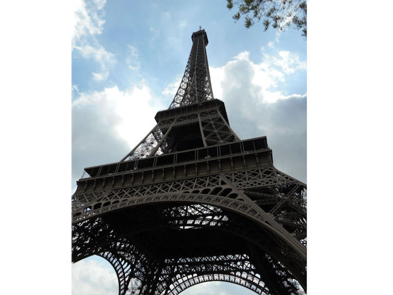
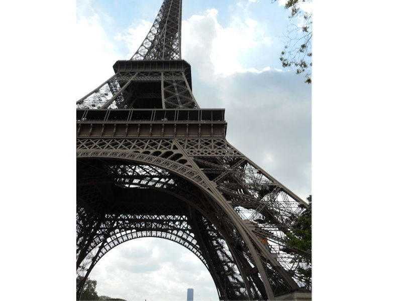
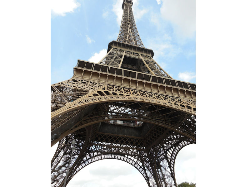
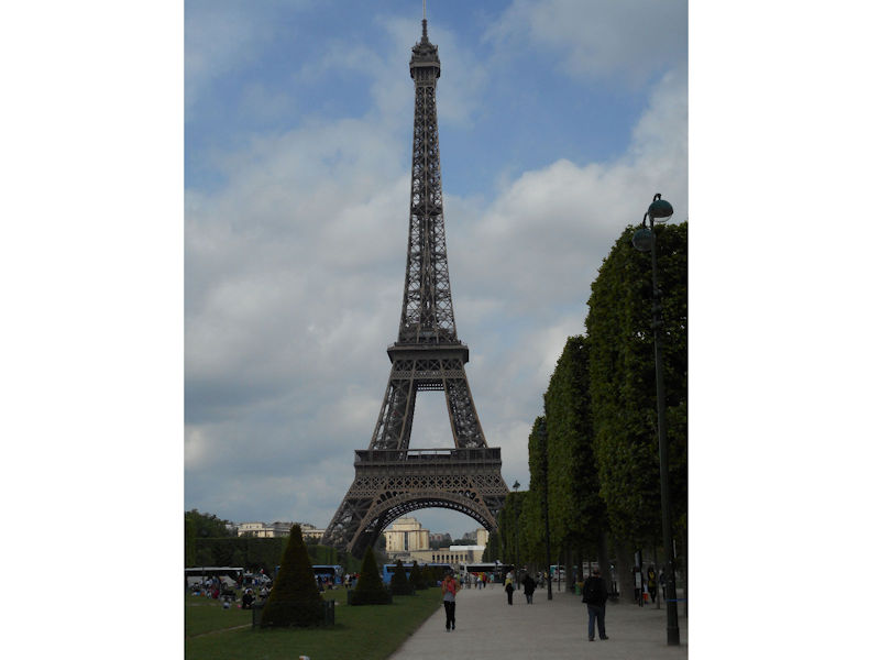
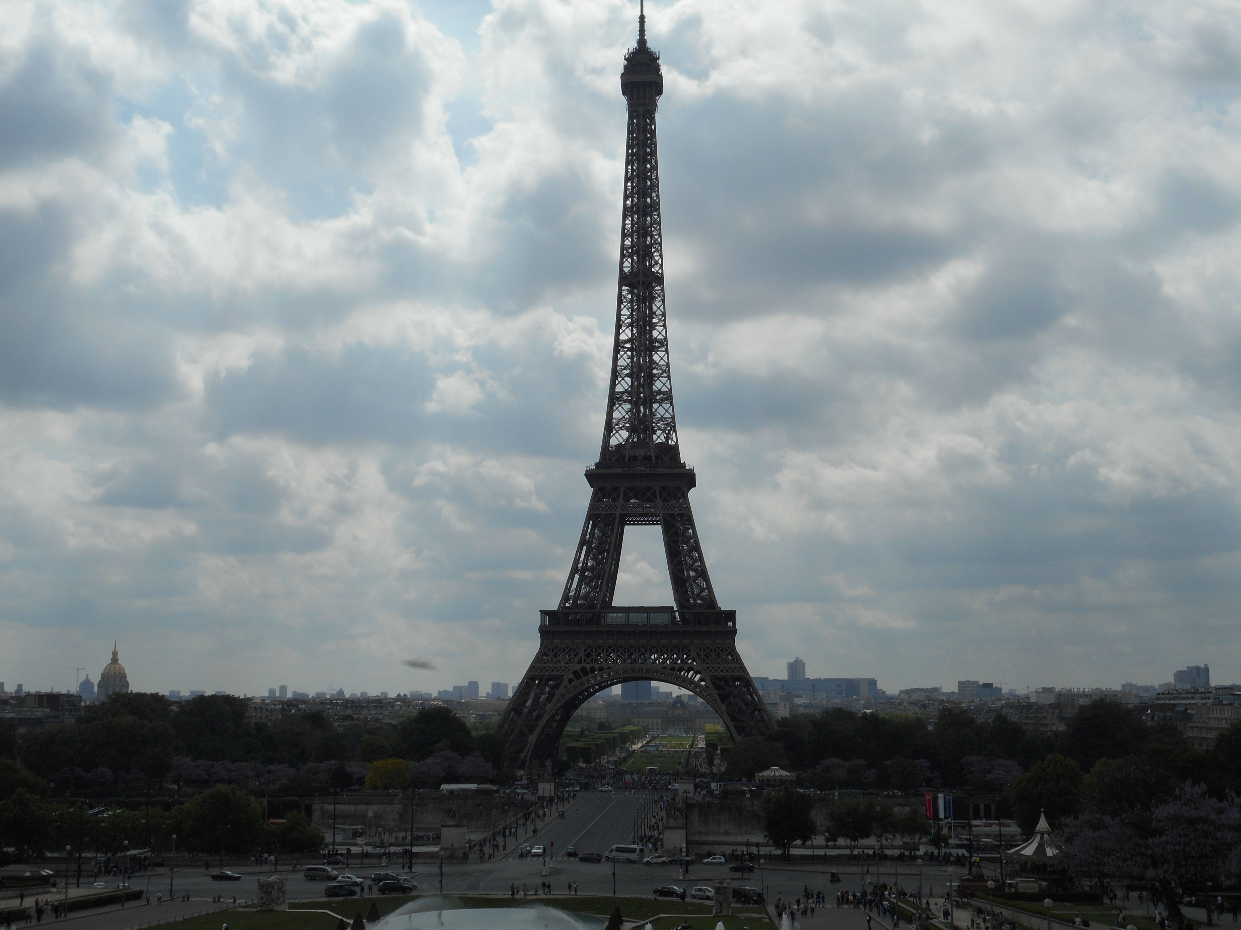
Further to the west are the Jardin des Tuileries and Place de la Concorde on the right bank. The monuments here bring to mind the Universal Expositions that took place in Paris: the Eiffel tower, put in place for the exposition of 1889; the Petit et Grand Palais (1900); the Palais de Chaillot (1937).
Before leaving Paris the Seine passes the Maison de la Radio and the towers of operation Front de Seine. Paris has served for ten centuries as a political capital for a number of reasons: its geographical situation in the centre of the Parisian basin, which is the site of important river confluences; the busy crossroads that it naturally forms for road and rail networks, as well as busy flight paths; its easy access to the sea via the navigable river Seine; its proximity to North-Western Europe, which is one of the most concentrated industrialised and urbanised regions in the world. Paris is in a marginal position relative to the industrial axis that stretches from Rotterdam to Milan, however the putting in place a European fast rail network would largely compensate for this, making Paris the hub for transport through the channel tunnel into the U.K.
Paris has the highest rates of business activity and productivity in France. The tertiary sector alone employs 3 million people in the Greater Paris area. Almost a third of that employment stems from the city’s function as the political and administrative capital.

In other words, the standard of living is higher in Paris than anywhere else in the country. This is the result of different activities and economic processes that come with any very large city, and the snowball effect that they have on the surrounding environment. The tertiary sector grows and diversifies; while the resulting intensification of communication and transaction activities pushes the industrial sector out to the suburbs.
For some years, there has been clear increase in high-tech industries, particularly in the electronics and computer sectors, matched by a simultaneous decline in traditional industries like timber, clothing, leather and printing. What’s more, the number of businesses has decreased by 15%, or 30,000 companies, predominantly among trade activities and light industry.
Paris and the Parisian region therefore constitute one of the most complex industrial poles there is, much more even than the large industrial regions, such as La Lorraine or Le Nord. In reality, efforts to decongest the capital are constantly battling against the need to keep a sufficient mass of jobs there for the tertiary sector to be supported and developed. The array of tertiary activities being conducted in Paris and its suburbs is more and more visible as time goes on. The effect on the city is an increased demand for office space, and consequently modern office buildings rapidly springing up throughout the city. Along the axis formed by la Défense, the Champs-Élysées and Bercy, one of the most attractive tertiary sector corridors in Europe stretches over 30 km all the way from Saint-Germain-en-Laye to Marne-la-Vallée.

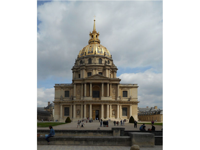
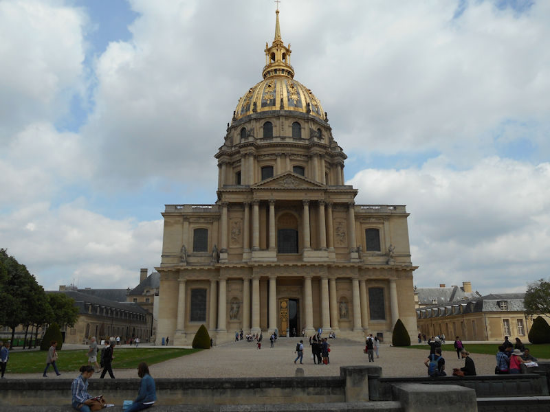
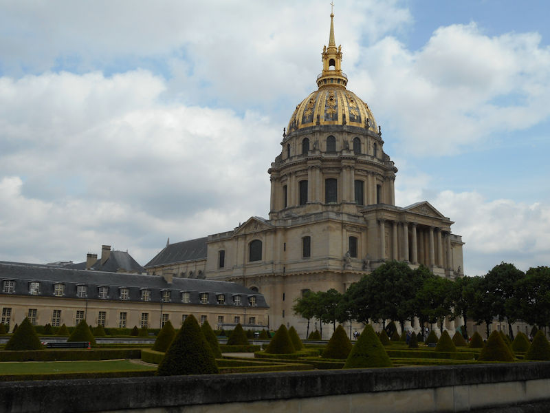
This is visibly the case, zones of industrial activity are heavily present around the outskirts of the city today, notably the automotive sector which pioneered the outward migration.The greater urban area represents a network of industries, which are linked to each other by complex relationships: the tourism sector with luxury industries, scientific research and artistic activities with high-tech industries and producers of cultural goods. Paris attracts more conferences, salons and expositions than any other city in the world. Some of the city’s attractions are visited by more than a million visitors each year, notably the Pompidou Art & Cultural Centre or the Eiffel Tower, or outside the city: Versailles or Disneyland-Paris, at Marne La Vallée. Certain monuments, of course, will always remain the must-see spectacles for tourists: the Eiffel Tower, the Arc de Triomphe, Montmartre, Notre-Dame, the Pantheon, the Louvre, or the Palais des Invalides. Of course, tourists also make up a great number of the visitors to the 200 museums, the 120 theatres and music venues and the hotels: 200,000 rooms are available in Ile de France, three quarters of them in the capital. The wholesale food business was radically transformed by the transfer from Les Halles to Rungis, which has become a unique centre for the redistribution of produce, not only throughout the whole of France but even overseas.

The greatest concentration of head-quarters and power centres are located in the west of the city. Since 1977, Paris has been administrated by a mayor elected by universal suffrage. Jacques Chirac was the first person to be elected to that post.
The Elysée Palace, residence of the President of the Republic, is situated on the right bank of the Seine, behind the gardens of the Champs-Elysées. The ministries are located on the other side of the river, in sumptuous buildings in Faubourg Saint-Germain (such as Hôtel Matignon, the residence of the prime minister). Nearby, and closing the perimeter inside which are gathered the central powers, the Palais Bourbon houses the Assemblée Nationale, facing Place de la Concorde, and the Palais du Luxembourg, constructed for Marie de Medici in the early 17th century, which now houses the Senate. The relocation of the Ministry for Public Facilities to the Grande Arche de la Défense didn’t very much change the geography of the official palaces.

The centres of economic and financial power are almost exclusively on the right bank, in the quarters most marked by Haussmann’s works, between Opéra and Place de Étoile. This business quarter, based around the Banque de France and the stock exchange, or Bourse (1808-1826, architect Brongniart) the second in Europe after London, has been expanding steadily towards the west. There you can find the headquarters of various insurance companies, banks and big businesses, but equally the area has many luxury stores: jewellers in the Place Vendôme, big car dealerships on the Champs-Elysées and fashion houses on Avenue Montaigne.
On the left bank, within the triangle formed by the Natural History Museum, the Ecole Normale Supérieure and the Institut de France, can be found the most prestigious academic establishments in France: Sorbonne and the Collège de France . The cultural vocation of the quarter is further emphasised by the presence of numerous publishing houses and by the general literary life that animates the area around the church of Saint-Germain-des-Près.

The right bank is not entirely left out: the Palais Royal, which was home to the Orleans family, was in the 18th century one of the centres of the Enlightenment movement. Napoleon I also made an impact on the right bank when he decided to transform the Louvre into a museum. With the construction of the Georges Pompidou Centre for Art & Culture, the Picasso Museum, the Cité des Sciences at La Villette and the Bastille Opera, cultural points of interest were installed in parts of the city that had, until then, been quite barren. While the west of Paris developed a bourgeois and plush character, the eastern districts have long housed a working class population and various industrial and trade activities. The story of the Commune of Paris and the inexorable march of the Versailles forces from west to east, until the Wall of the Federates in Père Lachaise cemetery, illustrate this political and social asymmetry in the city.

The presence of the Saint-Martin canal, the major freight stations (North, East, Tolbiac) and the warehouses of Bercy explains the location of materials handling and conversion activities in the north and east of the city. Bastille was traditionally the quarter of the cabinet makers, while the rug makers of “Manufacture des Gobelins” set up shop close to Place d’Italie.
The desire to rebalance the city towards the east, combined with the departure of industry from the city, brought about efforts to rapidly install tertiary activities in these districts – a prime example is the ZAC at Bercy. Simultaneously, the arrival of wealthier residents in the east of Paris is gradually changing the social composition of that part of the city.


CLICK Refresh FOR SLIDES


Portail de Paris Portail de Paris

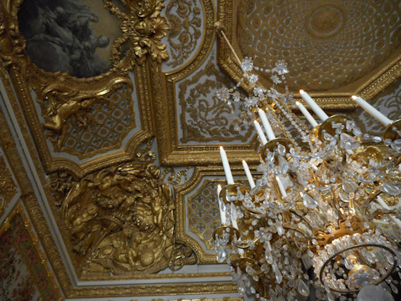
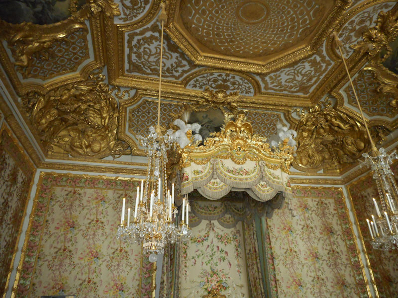
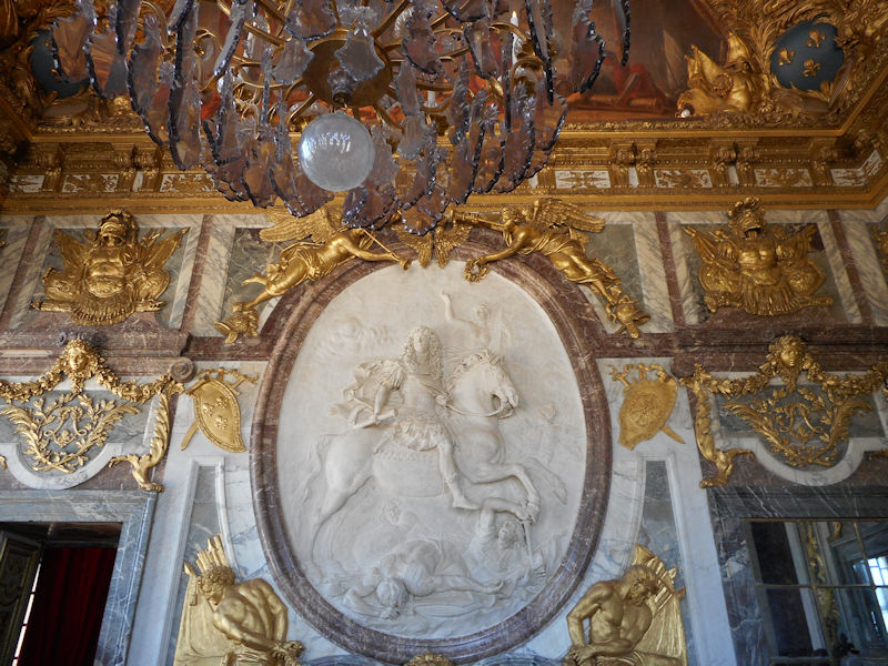
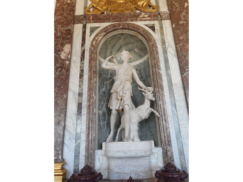
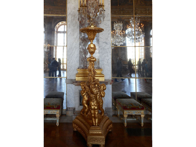
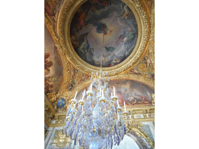
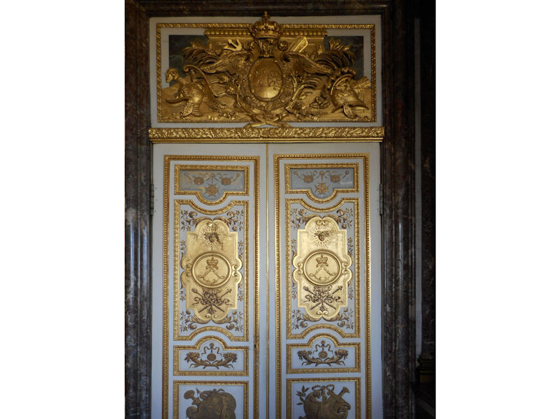
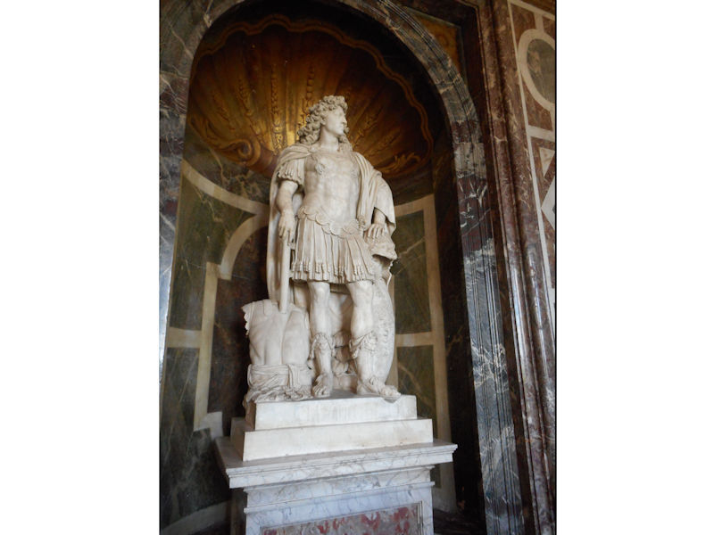
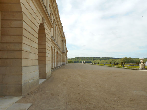
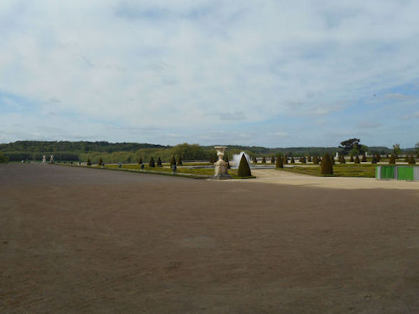
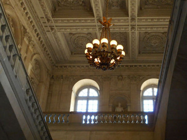
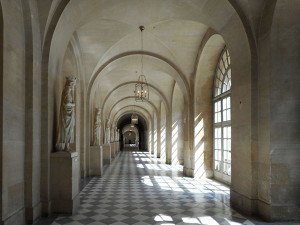
Château de Versailles

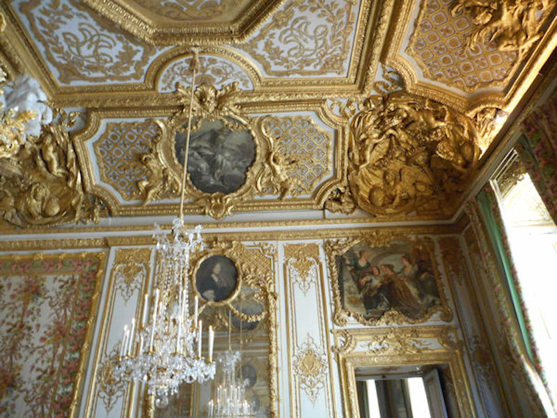
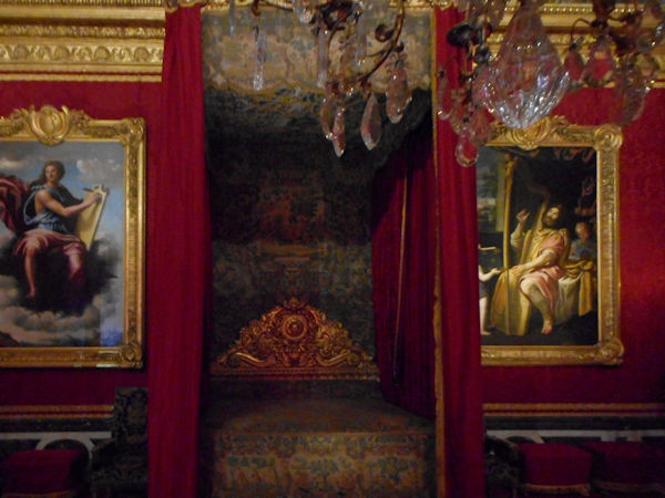
Queens bedroom last modified by Marie Antoinette


From the official website

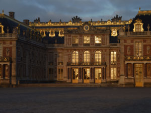
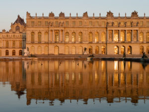
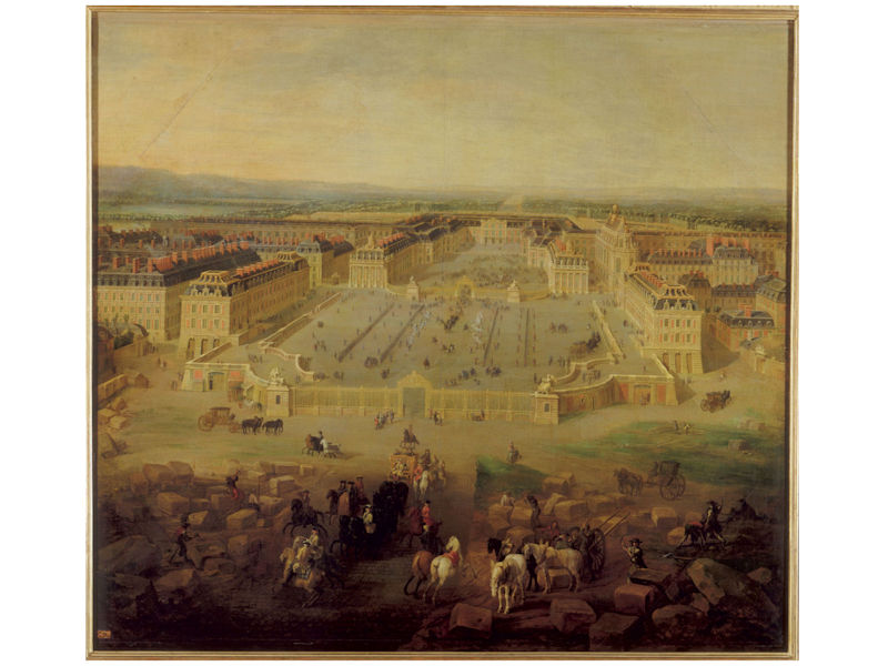
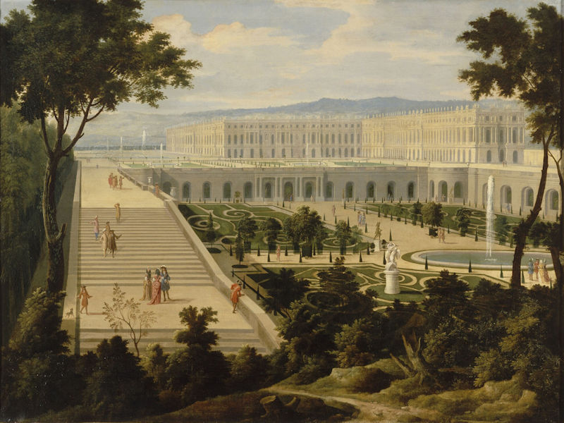
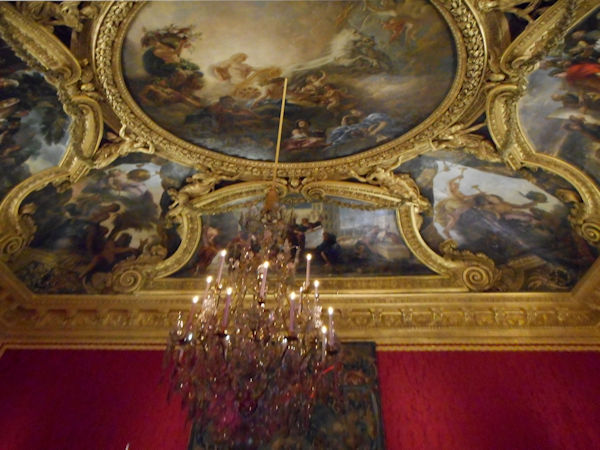
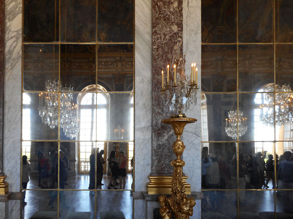
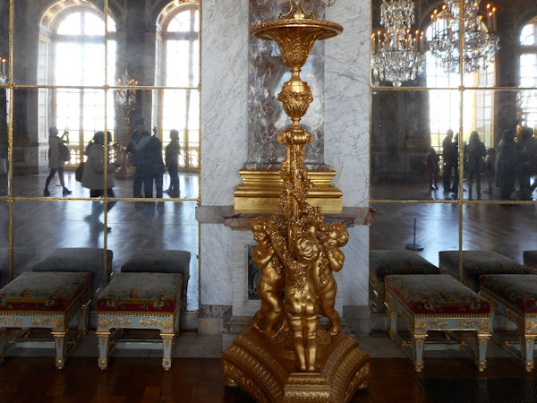
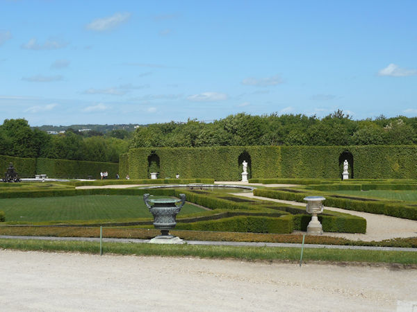
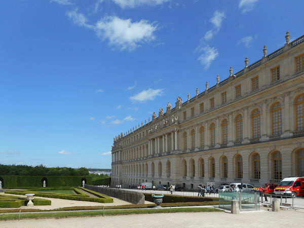
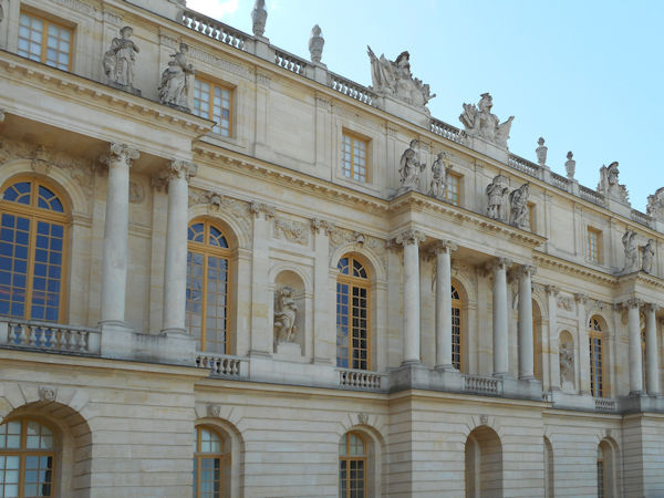
The Palace of Versailles has been listed as a World Heritage Site for 30 years and is one of the greatest achievements in French 17th century art. Louis XIII’s old hunting pavilion was transformed and extended by his son, Louis XIV, when he installed the Court and government there in 1682. A succession of kings continued to embellish the Palace up until the French Revolution.


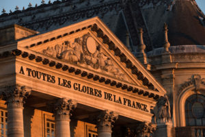
In 1789, the French Revolution forced Louis XVI to leave Versailles for Paris. The Palace would never again be a royal residence and a new role was assigned to it in the 19th century, when it became the Museum of the History of France in 1837 by order of King Louis-Philippe, who came to the throne in 1830. The rooms of the Palace were then devoted to housing new collections of paintings and sculptures representing great figures and important events that had marked the History of France. These collections continued to be expanded until the early 20th century at which time, under the influence of its most eminent curator, Pierre de Nolhac, the Palace rediscovered its historical role when the whole central part was restored to the appearance it had had as a royal residence during the Ancien Régime.


The Palace of Versailles never played the protective role of a medieval stronghold. Beginning in the Renaissance period, the term “chateau” was used to refer to the rural location of a luxurious residence, as opposed to an urban palace. It was thus common to speak of the Louvre “Palais” in the heart of Paris, and the “Château” of Versailles out in the country. Versailles was only a village at the time. It was destroyed in 1673 to make way for the new town Louis XIV wished to create. Currently the centrepiece of Versailles urban planning, the Palace now seems a far cry from the countryside residence it once was. Nevertheless, the garden end on the west side of the Estate of Versailles is still adjoined by woods and agriculture.


CLICK Refresh FOR SLIDES


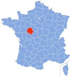
Indre et Loire 37


Indre-et-Loire is one of the original 83 departments created during the French Revolution on 4 March 1790. It was created from the former province of Touraine.

Tours, the departmental prefecture, was a centre of learning in the early Middle Ages, having been a key focus of Christian evangelisation since St Martin became its first bishop in c. 375. From the mid-15th century, the royal court repaired to the Loire Valley, with Tours as its capital, and at the confluence/crossing-point of the Loire and Cher rivers it became a centre of silk manufacturing and other luxury goods, including the wine-trade, creating a prosperous bourgeoisie.

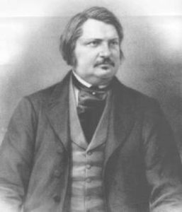
After the creation of the department it remained politically conservative, as Honoré de Balzac recorded in several of his novels. Conservative Tours refused to welcome the railways which instead were obliged to route their lines by way of Saint-Pierre-des-Corps on the city’s eastern edge. The moderate temper of the department’s politics remained apparent after the Franco-Prussian War of 1870: sentiments remained predominantly pro-royalist during the early years of the Third Republic.

For most of the nineteenth century, Indre-et-Loire was a rural department, but pockets of heavy-duty industrialisation began to appear towards the century’s end, accompanied by left-wing politics. 1920 saw the birth of the French Communist Party at the Congress of Tours. By 1920 Saint-Pierre-des-Corps had become a major railway hub and a centre of railway workshops: it had also acquired a reputation as a bastion of working class solidarity.


See also


Map of Indre et Loire

Orleans


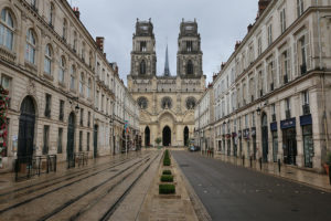
Rue Jeanne d’Arc and the Saint-Croix Cathedral


 In one of the most beautiful Renaissance buildings in the city of Orléans is the Musée historique et archéologique de l’Orléanais. As is to be expected of a regional museum much of what is on display is the history of the Orléans area. Undoubtedly, the most spectacular feature is an exhibition of Gallic and Roman bronzes. The collection consists of 30 bronze objects. They were found in the Neuvy-en-Sullias commune about 30kms from Orlèans. In 1861 the objects were found quite fortuitously by workmen in a sand quarry, but the exact circumstances of their recovery are unclear. The hoard includes various animal, human and mythological figures. From Archaeology Travel


From Wikipedia

Prehistory and Roman Empire

Cenabum was a Gallic stronghold, one of the principal towns of the tribe of the Carnutes where the Druids held their annual assembly. The Carnutes were massacred and the city was destroyed by Julius Caesar in 52 BC, then a new city was built on its ruins under the Roman Empire. The emperor Aurelian possibly built urbs Aurelianorum, or civitas Aurelianorum, “city of the Aurelii” (cité des Auréliens), which evolved into Orléans.

In 442 Flavius Aetius, the Roman commander in Gaul, requested Goar, head of the Iranian tribe of Alans in the region to come to Orleans and control the rebellious natives and the Visigoths. Accompanying the Vandals, the Alans crossed the Loire in 408. One of their groups, under Goar, joined the Roman forces of Flavius Aetius to fight Attila when he invaded Gaul in 451, taking part in the Battle of Châlons under their king Sangiban. Goar established his capital in Orléans. His successors later took possession of the estates in the region between Orléans and Paris. Installed in Orléans and along the Loire, they were unruly (killing the town’s senators when they felt they had been paid too slowly or too little) and resented by the local inhabitants. Many inhabitants around the present city have names bearing witness to the Alan presence – Allaines. Also many places in the region bear names of Alan origin.


Early Middle Ages

In the Merovingian era, the city was capital of the Kingdom of Orléans following Clovis I’s division of the kingdom, then under the Capetians it became the capital of a county then duchy held in appanage by the house of Valois-Orléans. The Valois-Orléans family later acceded to the throne of France via Louis XII then Francis I. In 1108, one of the few consecrations of a French monarch to occur outside of Reims occurred at Orléans, when Louis VI of France was consecrated in Orléans cathedral by Daimbert, archbishop of Sens.


High Middle Ages

Orléans in September 1428, the time of the Siege of Orléans.

The city was always a strategic point on the Loire, for it was sited at the river’s most northerly point, and thus its closest point to Paris. There were few bridges over the dangerous river Loire, but Orléans had one of them, and so became – with Rouen and Paris – one of medieval France’s three richest cities.


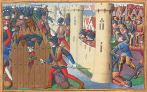
15th-century depiction of the French troops attacking an English fort at the siege of Orléans

On the south bank the “châtelet des Tourelles” protected access to the bridge. This was the site of the battle on 8 May 1429 which allowed Joan of Arc to enter and lift the siege of the Plantagenets during the Hundred Years’ War, with the help of the royal generals Dunois and Florent d’Illiers. The city’s inhabitants had continued to remain faithful and grateful to her to this day, calling her “la pucelle d’Orléans” (the maid of Orléans), offering her a middle-class house in the city, and contributing to her ransom when she was taken prisoner.


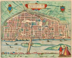
Aurelia Franciae civitas ad Ligeri flu. sita (1581)


Once the Hundred Years’ War was over, the city recovered its former prosperity. The bridge brought in tolls and taxes, as did the merchants passing through the city. King Louis XI also greatly contributed to its prosperity, revitalising agriculture in the surrounding area (particularly the exceptionally fertile land around Beauce) and relaunching saffron farming at Pithiviers. Later, during the Renaissance, the city benefited from its becoming fashionable for rich châtelains to travel along the Loire valley (a fashion begun by the king himself, whose royal domains included the nearby châteaus at Chambord, Amboise, Blois, and Chenonceau).

The University of Orléans also contributed to the city’s prestige. Specializing in law, it was highly regarded throughout Europe. John Calvin was received and accommodated there (and wrote part of his reforming theses during his stay), and in return Henry VIII of England (who had drawn on Calvin’s work in his separation from Rome) offered to fund a scholarship at the university. Many other Protestants were sheltered by the city. Jean-Baptiste Poquelin, better known by his pseudonym Molière, also studied law at the University, but was expelled for attending a carnival contrary to university rules.

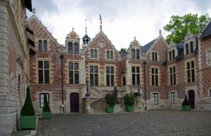
The Renaissance Hôtel Groslot

From 13 December 1560 to 31 January 1561, the French States-General after the death of Francis II of France, the eldest son of Catherine de Médicis and Henry II. He died in the Hôtel Groslot in Orléans, with his queen Mary at his side.

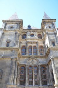
The cathedral was rebuilt several times. The present structure had its first stone laid by Henry IV, and work on it took a century. It thus is a mix of late Renaissance and early Louis XIV styles, and one of the last cathedrals to be built in France.


1700–1900

When France colonised America, the territory it conquered was immense, including the whole Mississippi River (whose first European name was the River Colbert), from its mouth to its source at the borders of Canada. Its capital was named la Nouvelle-Orléans in honour of Louis XV’s regent, the duke of Orléans, and was settled with French inhabitants against the threat from British troops to the north-east.

The Dukes of Orléans hardly ever visited their city since, as brothers or cousins of the king, they took such a major role in court life that they could hardly ever leave. The duchy of Orléans was the largest of the French duchies, starting at Arpajon, continuing to Chartres, Vendôme, Blois, Vierzon, and Montargis. The duke’s son bore the title duke of Chartres. Inheritances from great families and marriage alliances allowed them to accumulate huge wealth, and one of them, Philippe Égalité, is sometimes said to have been the richest man in the world at the time. His son, Louis-Philippe I, inherited the Penthièvre and Condé family fortunes.

1852 saw the creation of the Compagnies ferroviaires Paris-Orléans and its famous gare d’Orsay in Paris. In the Franco-Prussian War of 1870, the city again became strategically important thanks to its geographical position, and was occupied by the Prussians on 13 October that year. The armée de la Loire was formed under the orders of General d’Aurelle de Paladines and based itself not far from Orléans at Beauce.


1900 to present

US Army medics in Orléans, 1944

During the Second World War, the German army made the Orléans Fleury-les-Aubrais railway station one of their central logistical rail hubs. The Pont Georges V was renamed “pont des Tourelles”. A transit camp for deportees was built at Beaune-la-Rolande. During the Liberation, the American Air Force heavily bombed the city and the train station, causing much damage. The city was one of the first to be rebuilt after the war: the reconstruction plan and city improvement initiated by Jean Kérisel and Jean Royer was adopted as early as 1943, and work began as early as the start of 1945. This reconstruction in part identically reproduced what had been lost, such as Royale and its arcades, but also used innovative prefabrication techniques, such as îlot 4 under the direction of the architect Pol Abraham.

The big city of former times is today an average-sized city of 250,000 inhabitants. It is still using its strategically central position less than an hour from the French capital to attract businesses interested in reducing transport costs.

Heraldry

According to Victor Adolphe Malte-Brun in La France Illustrée, 1882, Orléans’s arms are “gules, three caillous in cœurs de lys argent, and on a chief azure, three fleurs de lys.


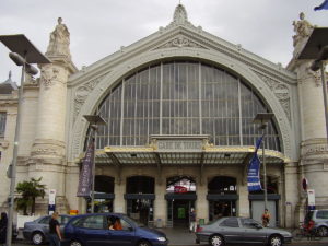
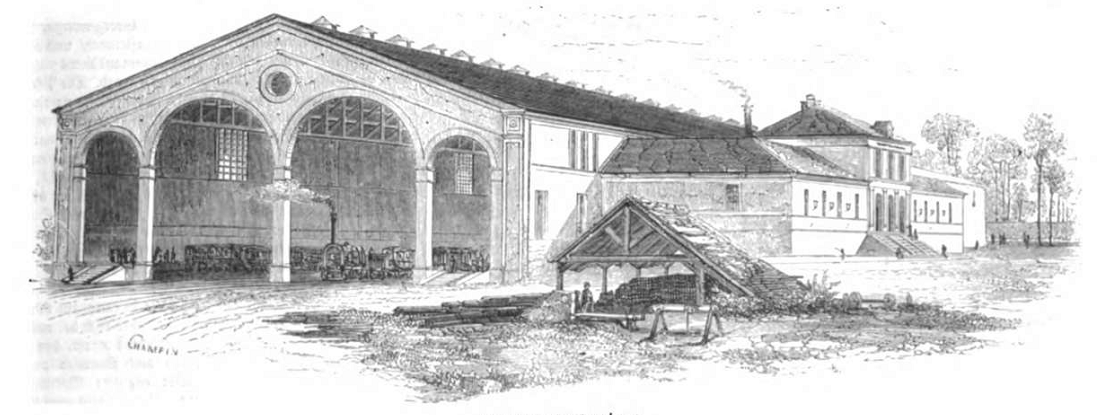
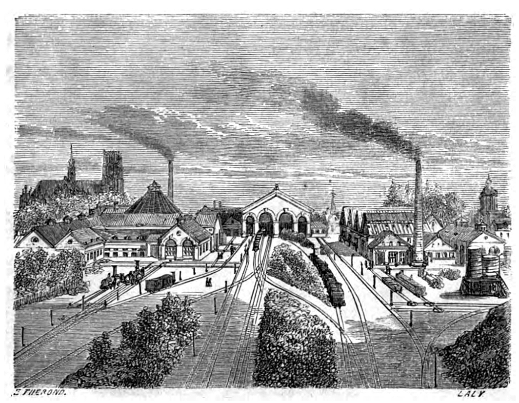
  • The first station, around 1843
  • The first station around 1855
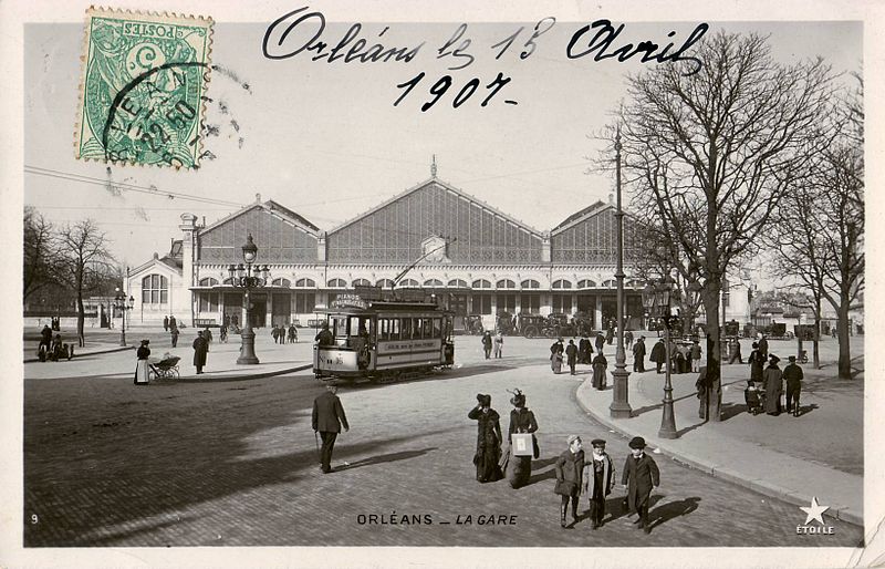
  • The second station at the beginning of the 20th Century
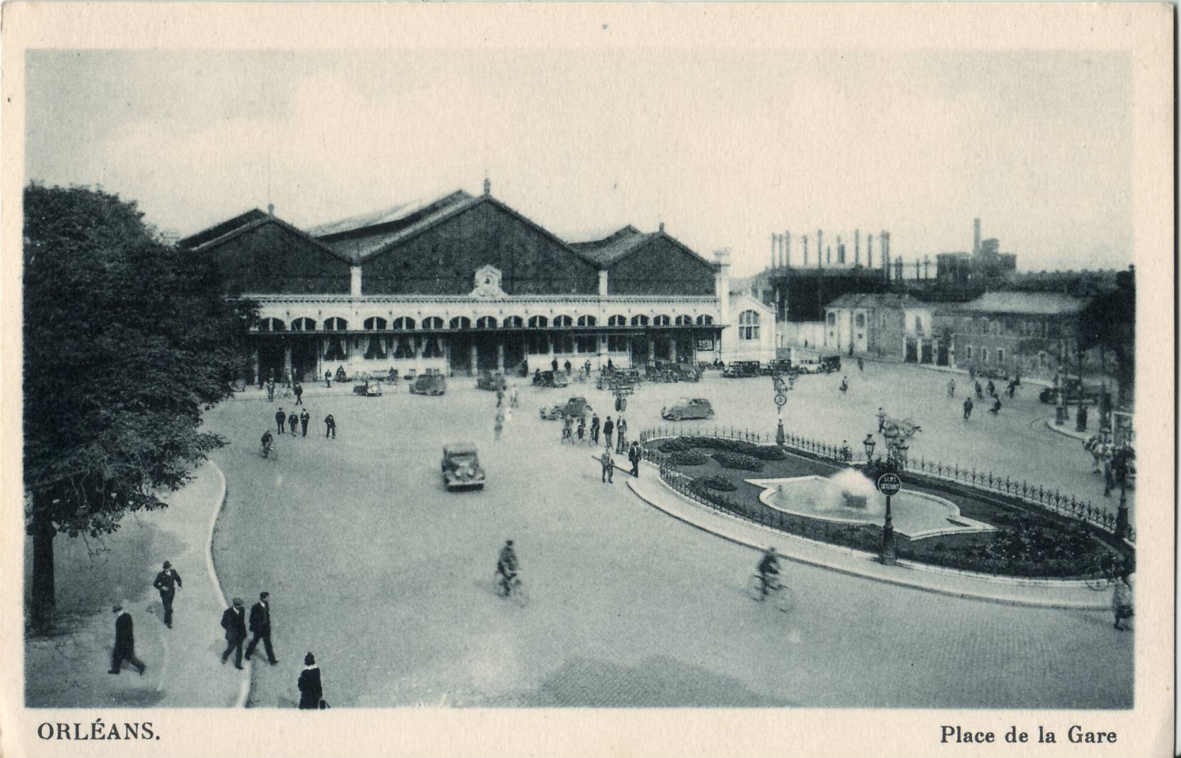
  • The second station in the 1930s


CLICK Refresh FOR SLIDES
Wikipedia

Angers


Apocalypse Tapestry, Angers, Jean Bondol and Nicholas Bataille, 1377 – 1382


Britannica

Angers, city, capital of Maine-et-Loire département, Pays de la Loire région, western France. Angers is the former capital of Anjou and lies along the Maine River 5 miles (8 km) above the latter’s junction with the Loire River, northeast of Nantes. The old city is on the river’s left bank, with three bridges crossing to Doutre.

Capital of the Andecavi, a Gallic tribe of the state of Andes, the ancient town became Juliomagus under the Romans. The succession of counts of Anjou began in the 9th century, and the rule of the Plantagenets was marked in Angers by the construction of magnificent monuments, of which the French Hôpital Saint-Jean (now housing an archaeological museum) is the most striking. The city’s massive, moated château, whose 17 towers are from 130 to 190 feet (40 to 58 metres) high, was built in 1230 on the site of earlier castles; it houses the late 14th-century Apocalypse series of tapestries (woven by Nicholas Bataille). Despite the damage of past wars, particularly World War II, Angers is still rich in medieval architecture. The 12th–13th-century cathedral of Saint-Maurice retains its original stained glass. The 15th-century Barrault House contains the public library, an art museum, and the complete works of the sculptor Pierre-Jean-David d’Angers, who was born in the city. The prefecture is in the former Saint-Aubin Abbey (11th century), which has Roman arcades. The medieval Universitas Andegavensis was refounded in 1876 as the Catholic Faculty of the West.

The city’s traditional industries such as slate quarrying, distilling, rope and cable manufacture, and weaving have been supplemented by electronics, photographic equipment, and elevators. Pop. (1999) 151,279; (2014 est.) 151,056.


From BnF, France Archives – New Plan of the City of Angers

Enriched with the Map of the Surroundings and the Perspective of the City With its Principal Houses Raised by the care of the Mayors and Aldermen and Perpetual Councilors of the Town Hall brought to light in 1736

NouveauPlanAngers page3


Google Maps – Angers

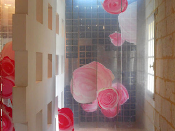
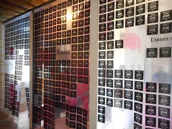
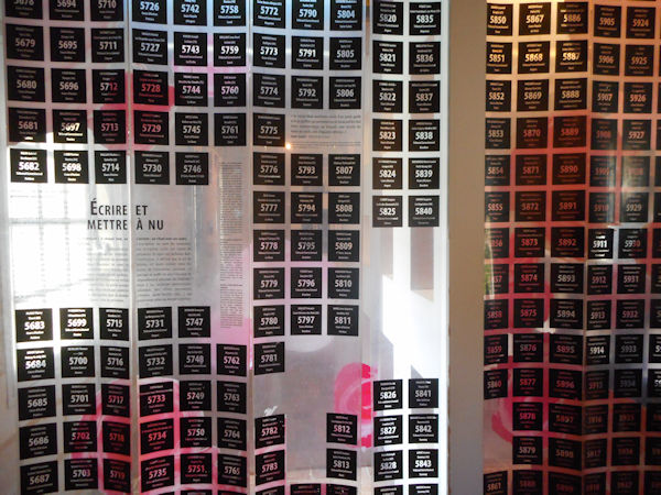
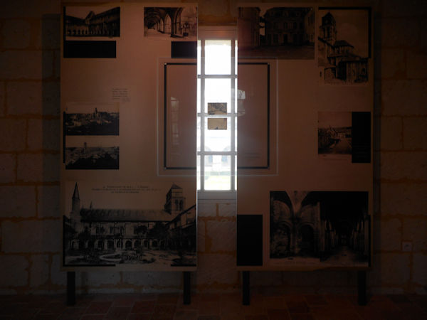
Fontevraud-l’Abbaye – L’Abbaye Contemporary Installation


CLICK Refresh FOR SLIDES
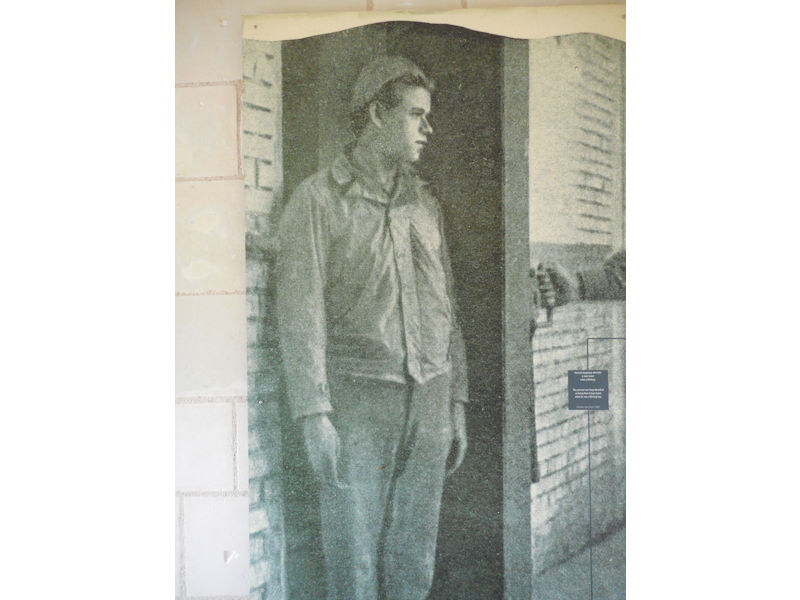
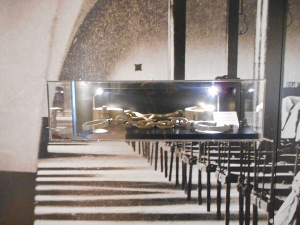
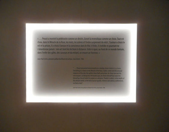
The exhibition – Abbaye de Fontevraud : Jean Genet, figure centrale

See also – Exhibition – Crime & Châtiment en Anjou

Read more (General) – Abbeye Royale de Fontevraud

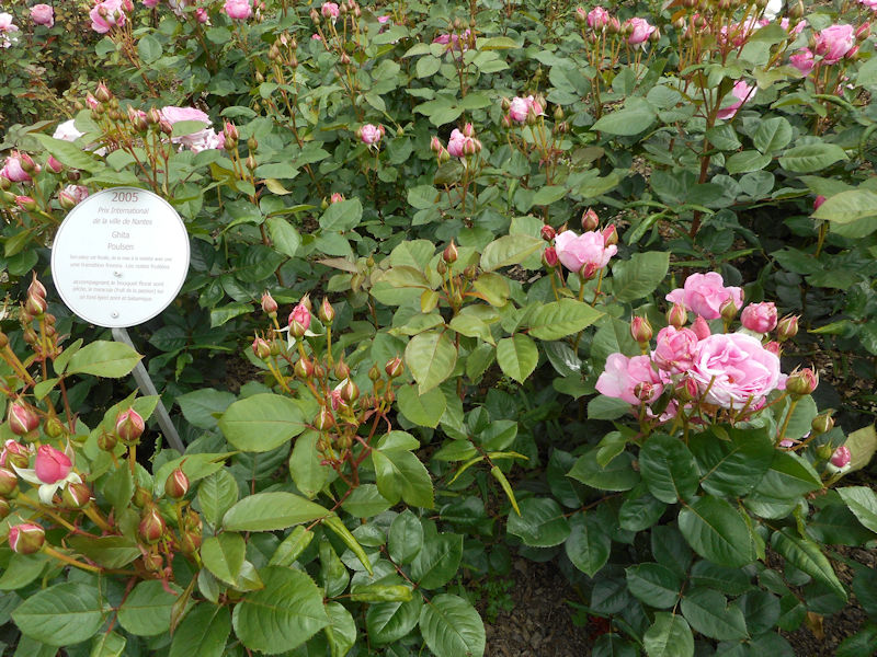
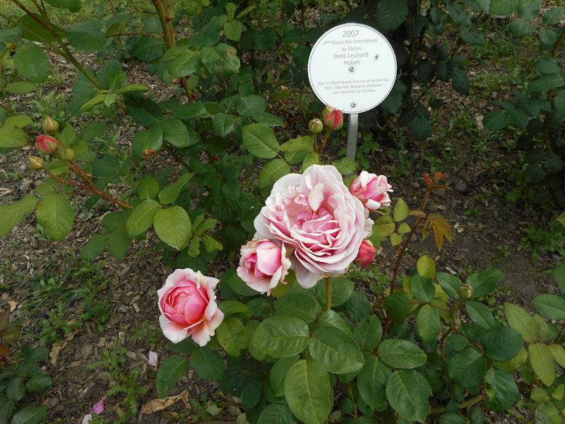
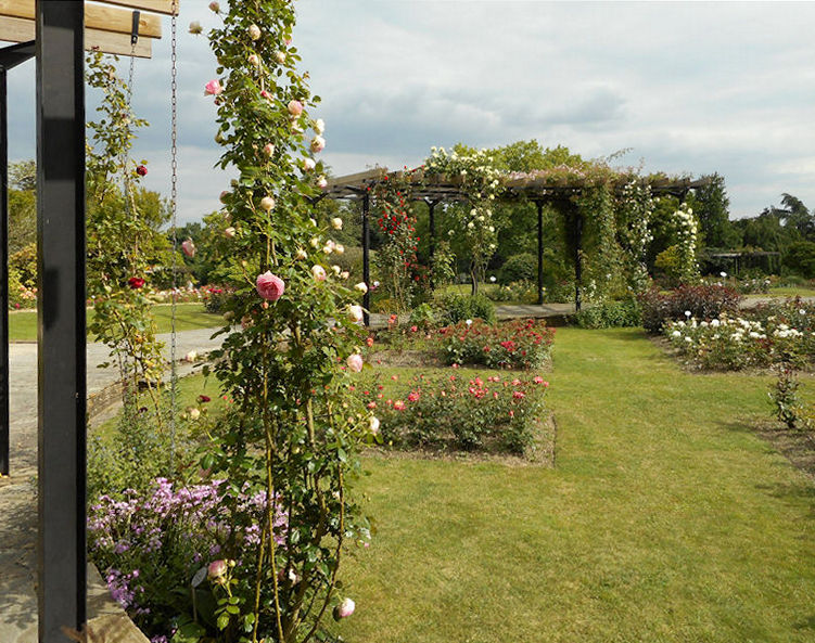
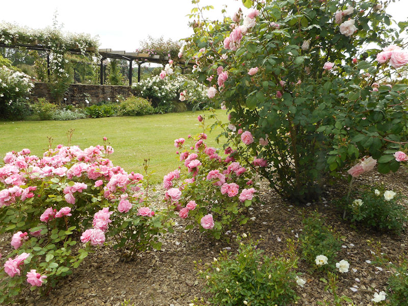
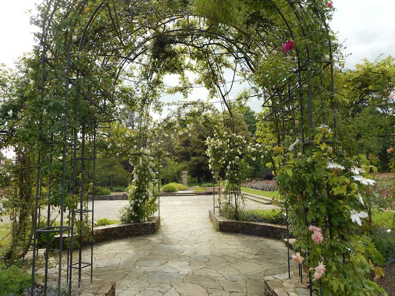
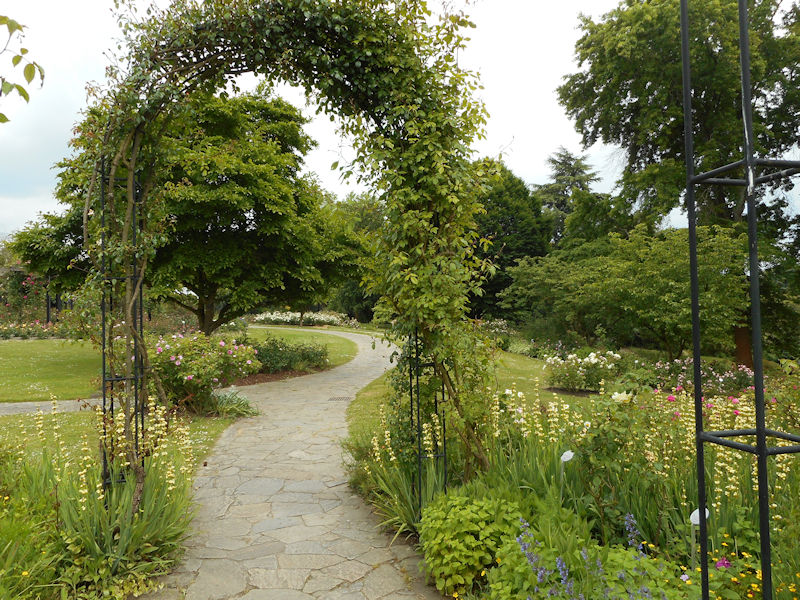
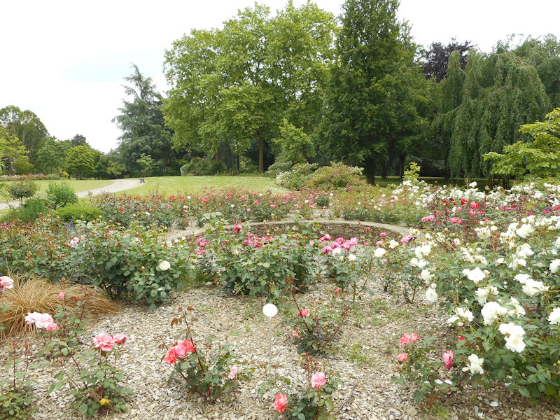
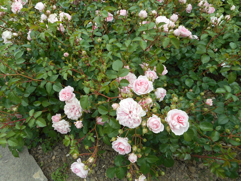
Nantes Parks – Parc de la Beaujoire – Roseraie in Spring

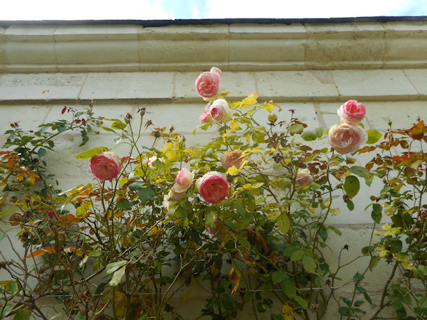
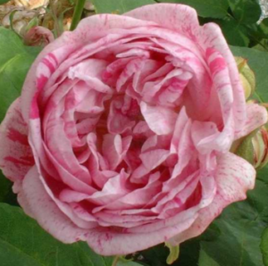
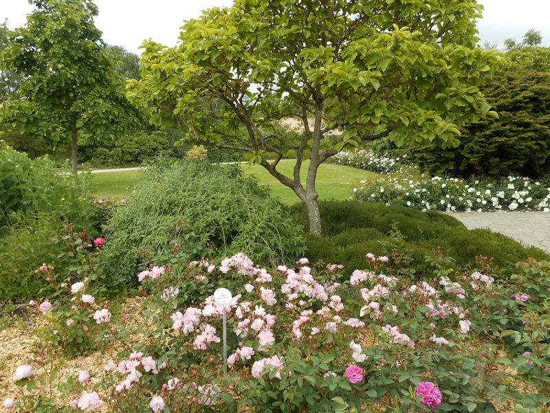
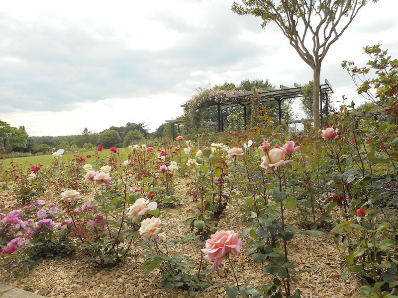
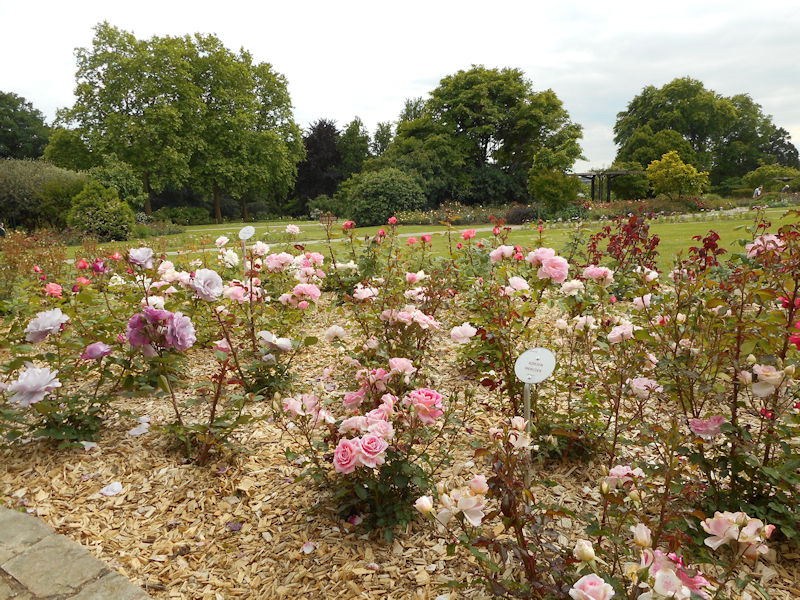
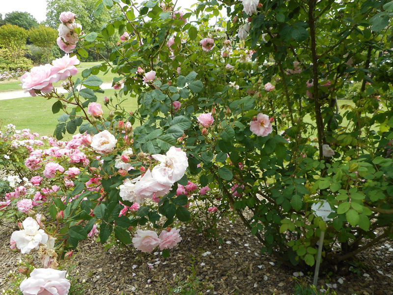
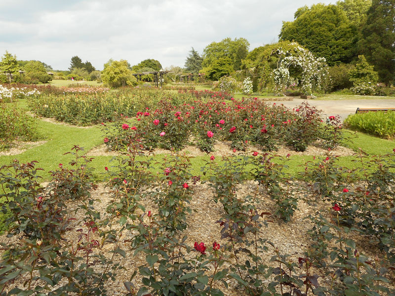
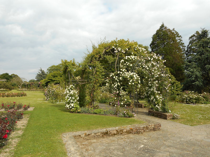
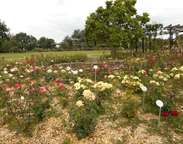
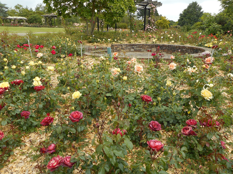
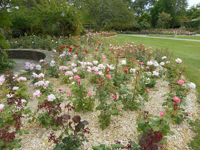
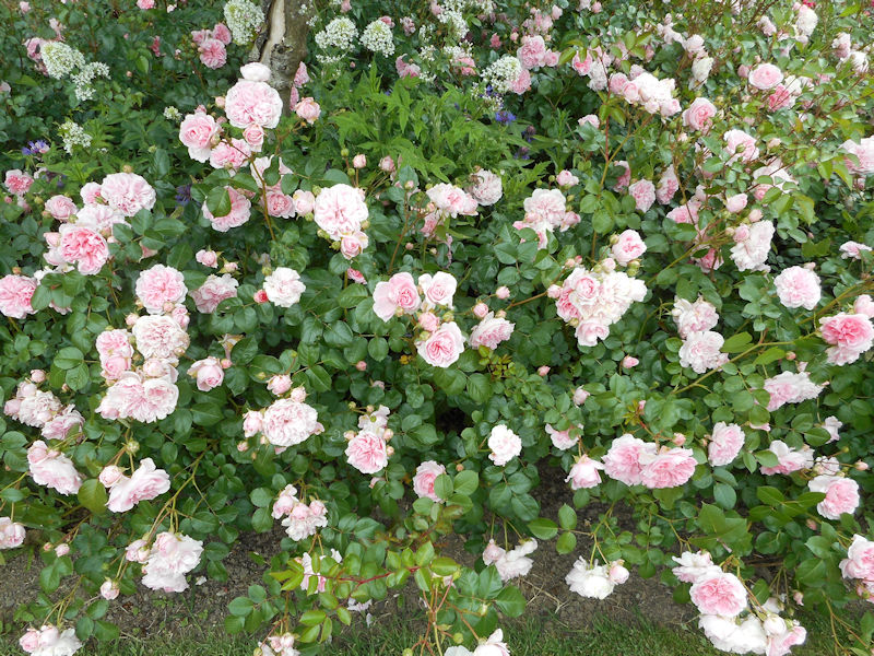
Grand old gardens seem to assert the outer borders of Nantes in each direction but it is to the North that is located a roseraie for all seasons with ample flowering year round, old roses in their delicate majesty in the warmer months aside hardy new roses which still flower in the cold months.


Roseraie roses and perfume

Rosa gallica ‘Officinalis’ or Rose de Provins

Using its flowers, as raw material, the apothecaries of Provins specialized, in the sixteenth century, in the preparation of powder, water, perfume, oil, jam. This commerce flourished to the extent that around the year 1600 the main street of this city was only open to apothecaries.


Rosa damascena ‘Trigintipetala’ or Rose of Kasanlik

Bulgaria has cultivated this rose for several centuries for perfumery. Other countries (Turkey, Morocco, India, China) also exploit this flower for its fragrance.


Rosa x centifolia or Rose hundred leaves (Rose with a hundred petals)

Cultivated in France in the Alpes Maritimes, this rose provides the most esteemed fragrance. The French production in 1990 amounting to nearly 320 tons of flowers.


The perfumes
Roses exhale fragrances of varying quality and intensity that sometimes influence the soil and climate. If Kasanlik’s rose and the rose of the painters smell pink, Golden Sun has a spicy smell. Other roses release bouquets of scents: apple and clove (Souvenir de la Malmaison), iris and violet (Maréchal Niel), rose and parsley (Mrs John Laing), anise (Paul Ricard).


Award of Garden Excellence
During the inauguration of the 10th Biennial of Fragrant Rose, on June 18, 2010, Mr. Maurice Jay, President of the French Rose Society, presents to the public the plaque of the Award of Garden Excellence, awarded by the World Federation of Societies de Roses in 2009, designating the International Rose Garden of Nantes as one of the 4 most beautiful in France (after the Haÿe les Roses in 1995, the Golden Head in 2006 and Bagatelle in 2007) and among the 35 remarkable rose gardens in the world.


To discover in the rose garden …

The alveoli
To accentuate the privileged contact with the roses, the designer drew paths symbolizing a branch of rose with its ramifications, its thorns and its flowers.

This route allows two complementary approaches:
– by taking the gravel circulations, the visitor perceives all the massifs with their modeling and their colors,
– using paved alleys, he enters the world of roses. The enthusiast has the leisure to seize the beauty, to capture the perfume, to know the name of each of them and to photograph his favorites.


The Ellipse of the medalists
Within this ellipse exposed to the South and sheltered from the wind are gathered the roses that constitute the ‘Top 50’ of the new varieties.

The belvedere
From this high point of the Roseraie, the view extends to the city center and, it is easy to appreciate the privileged site that occupies the park on the banks of the Erdre. This beautiful river, punctuated with castles, ranked ‘great national site’, promotes river tourism and water activities.

The Alley of Fragrances
This showcases rosebushes from the Nantaise Rose fragrance, whether award-winning or not, but always remarkable for their scent.

The Clos des Roses Parfumées
This forms an elliptical arena where the sweetest scents are confronted. Le Clos has been specially designed for the International Rose Perfume Contest using the model of this former artisanal quarry sheltered from the East winds.


The architecture takes up the theme of the Rose Garden.

The materials are of the same nature:
– Pontchâteau stone for the pavement of the Rose Garden (work done by the gardeners of the SEVE) which covers an area of ​​about 4,000 m2
– Pont Aven stone for the walls
– ironwork
– wood.

The Fan
The geometric design, inspired by an arabesque, consists of three varieties of roses. By their arrangement in ‘rainbow’, they create a variation of colors from yellow to dark red.

The Alley of ‘Old Glories’
Here are grouped the most deserving old roses, called for the occasion ‘the Old Glories’. Many of them offer a unique and generous bloom in May-June. The roses producing a second bloom at the end of summer (so-called ‘rising roses’) did not enter the gardens until the end of the 19th century.


CLICK Refresh FOR SLIDES

Google Maps – Parc Floral Roseraie

Montsoreau – Ville


CLICK Refresh FOR SLIDES
Google Maps – Montsoreau