The following content has been translated and adapted from the original work by lefildeculture in In the Estuary 25/07/2014.
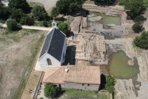
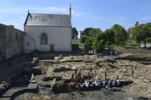
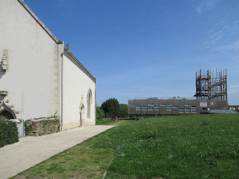
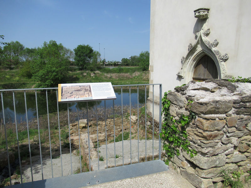
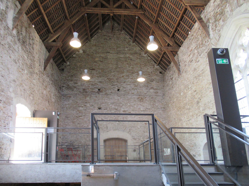
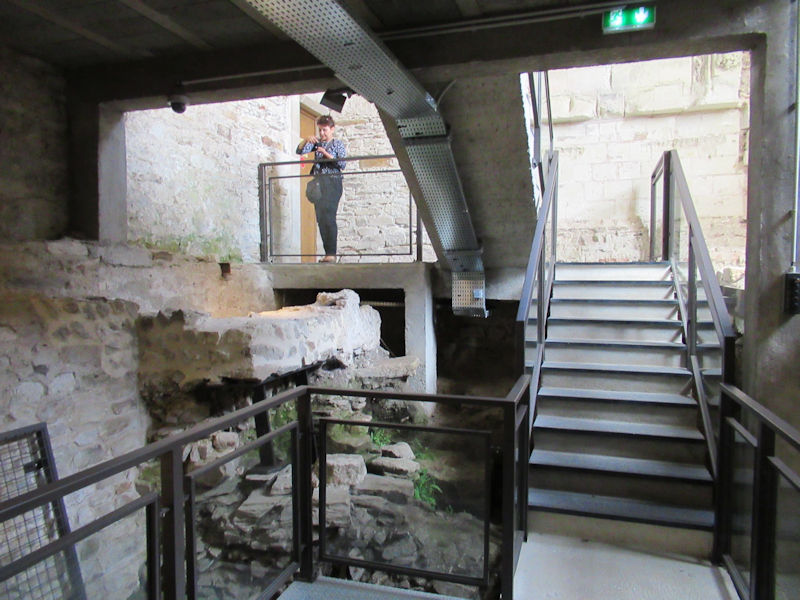
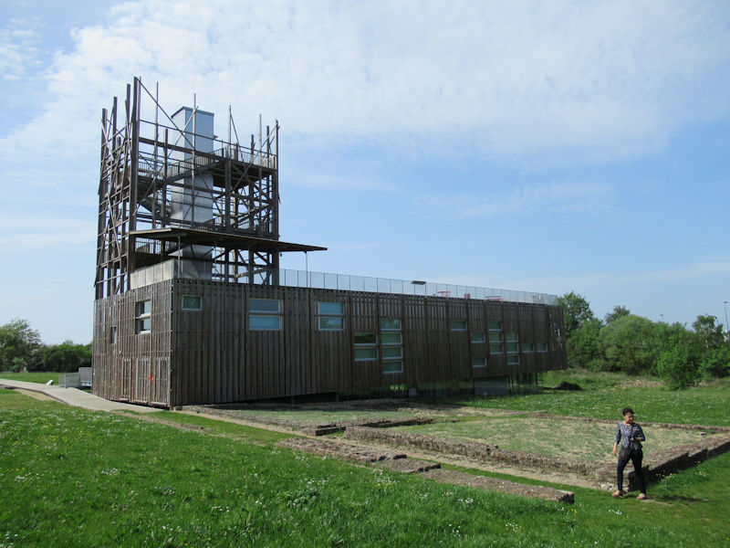
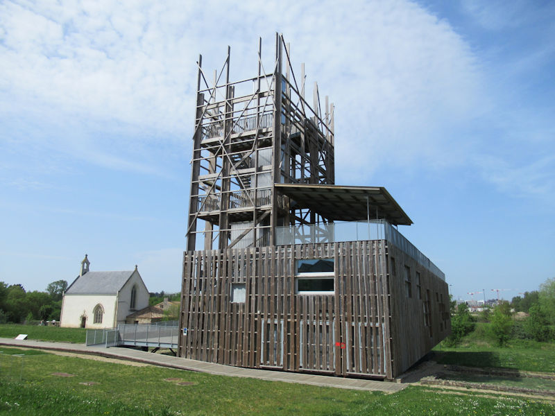
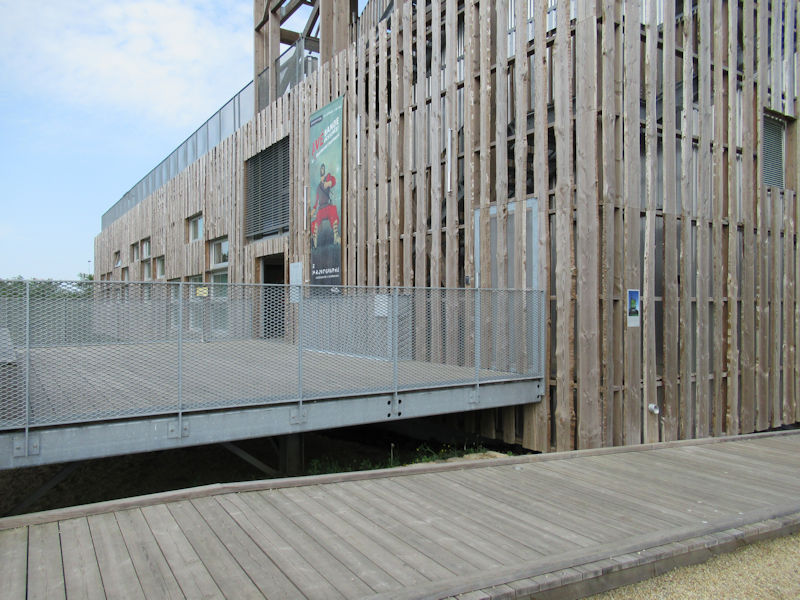
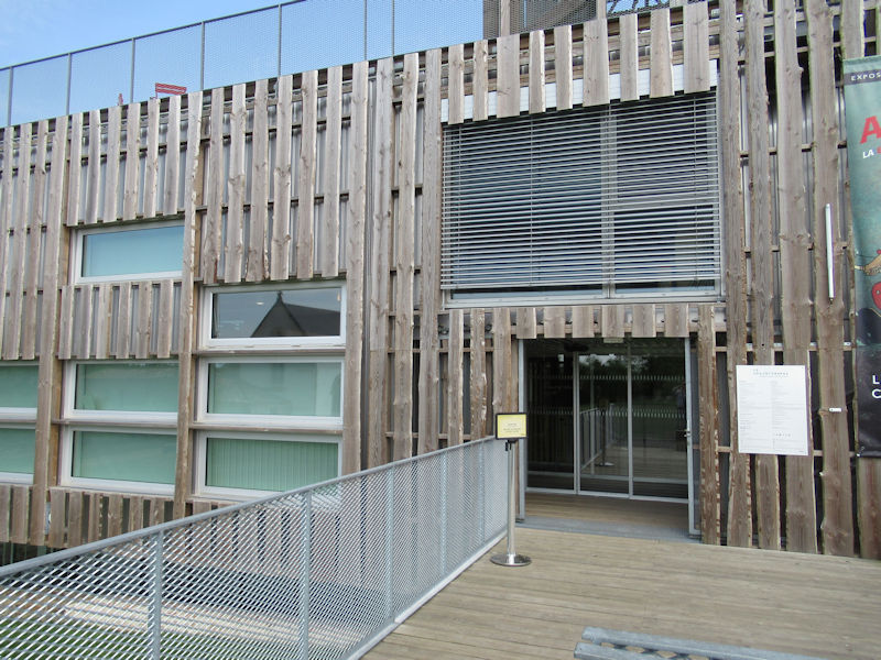
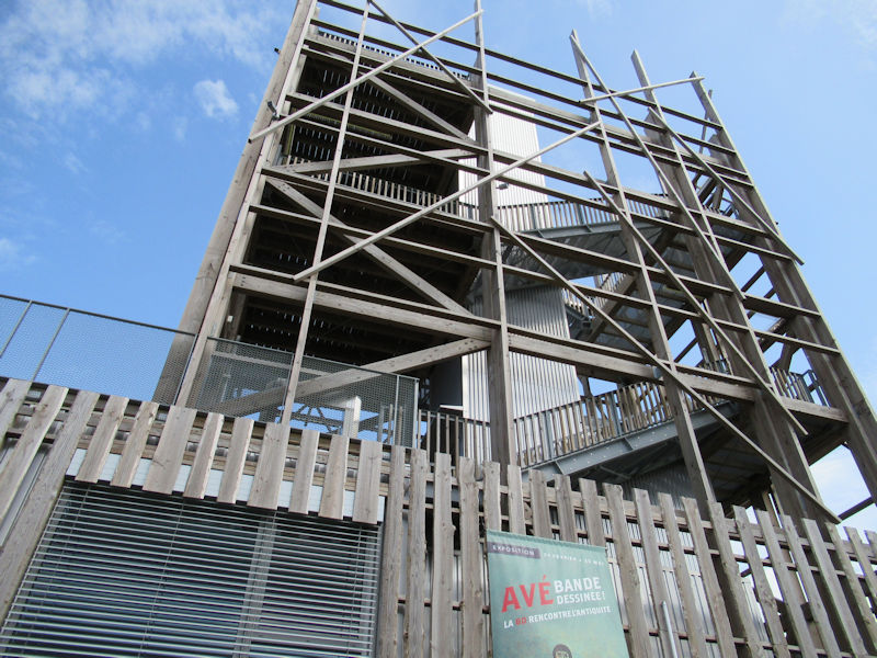
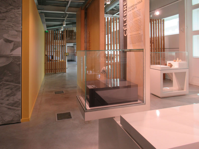
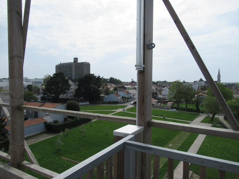
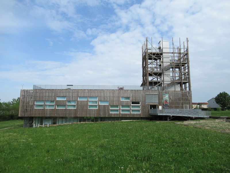
Saint-Lupien in Rezé is one of the most important archaeological sites in this region. Recognized on a European scale, it is has been the object of programmed excavations and every year from June to July groups of 50 or so people have worked on exhumation of the Gallo-Roman remains. To explain the discoveries and the history of the city, a heritage interpretation and animation center (CIAP), or simply the Chronographe, has been constructed.
Rezé is a commune and former bishopric in the Loire-Atlantique department in the Pays de la Loire region of western France (Britanny or Bretagne prior to 1789). It was named Ratiatum by the Roman settlers in the 1st and 2nd centuries AD, Ratiate in the Middle Ages and Rezay in the High Middle Ages. Inhabitants of Rezé are called Rezéens.
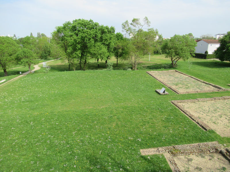
Archaeological excavations of Saint-Lupien
The first Gallo-Roman ruins in Saint-Lupien were excavated in the 19th century but it was especially during the construction of a subdivision in the 1980s that the City became aware of the size of the site and acquired the ground to protect it. In 2004, an archaeological service is created. Since then, planned excavations have been coordinated by the Inrap (National Institute of Archaeological Research), the City of Rezé and the University of Nantes and the Chronographe is the result of these studies, a presentation of the site which provides a viewing platform to better survey the remains and visualise the original site.

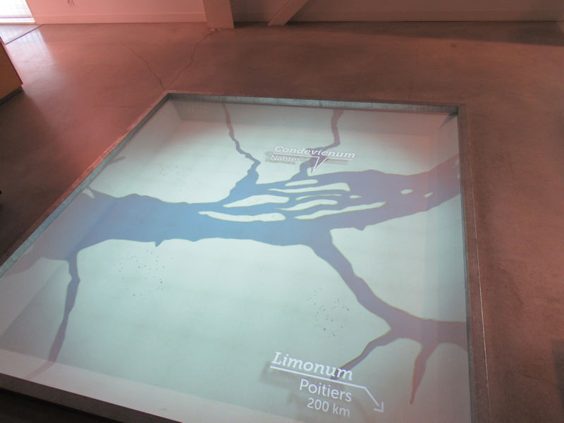
The history : the ancient city of Ratiatum
During the Roman conquest, independent tribes shared the Gallic territory. North of the Loire, the Namnetes founded the city of Condevicnum, future city of Nantes. In 56 BC, the Venetians, a people of the Armorican region, resisted. In order to defeat them, Caesar allied with Pictons, whose capital is Limonum (Poitiers), which provides him with wood, soldiers and ships. The Venetes are then defeated. It is possible that in the form of a reward, the Pictons could expand their territory to the Loire. They then founded Ratiatum, the future town of Rezé, which stretches for two kilometers along the banks and 500 meters deep inland. It does not seem like much today, but it was an important agglomeration. It was cited by geographers of the time, Strabo and Ptolemy.
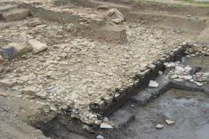
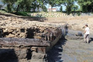
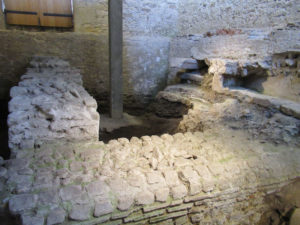
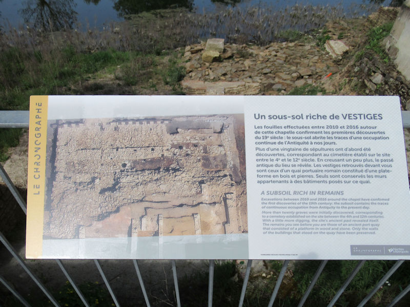
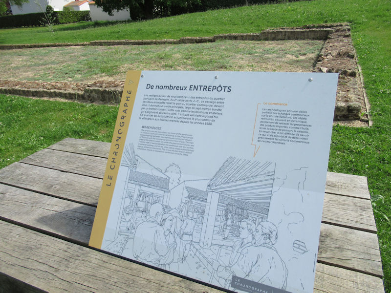
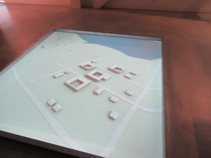
The remains of the ancient quay
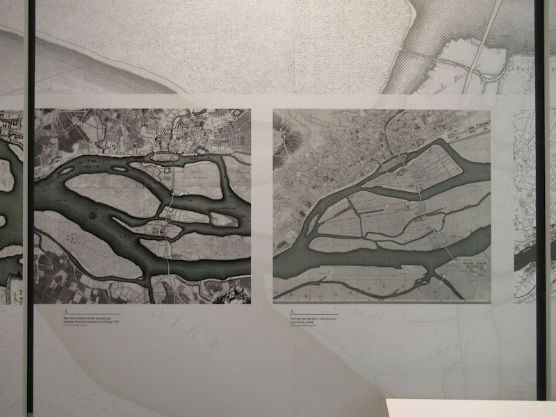
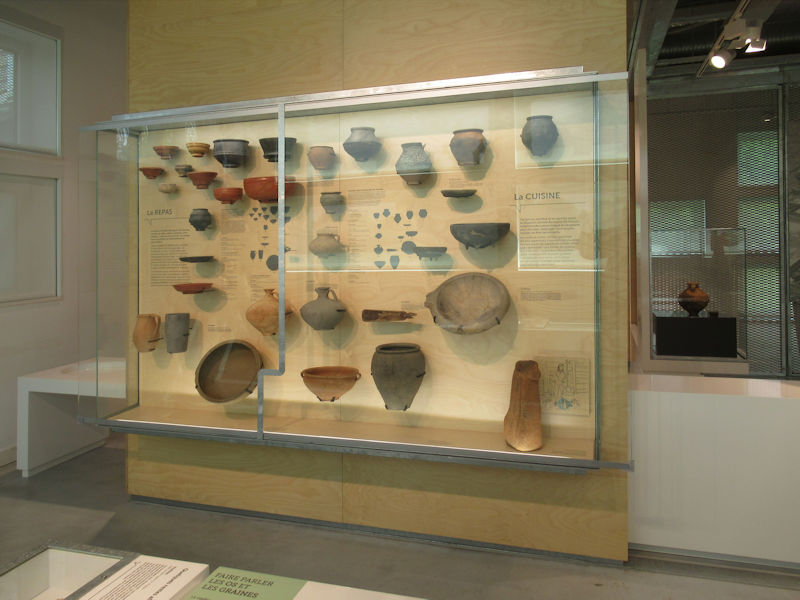
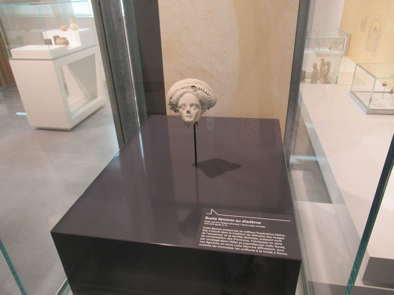
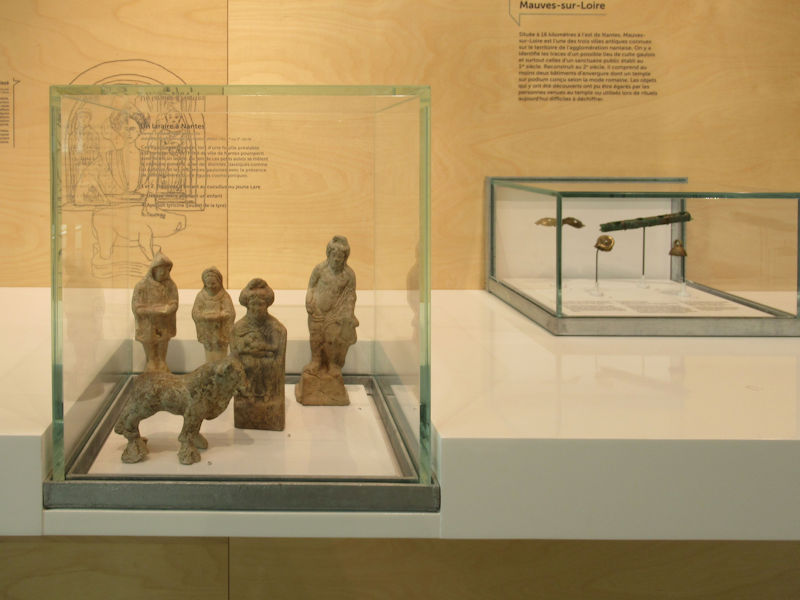
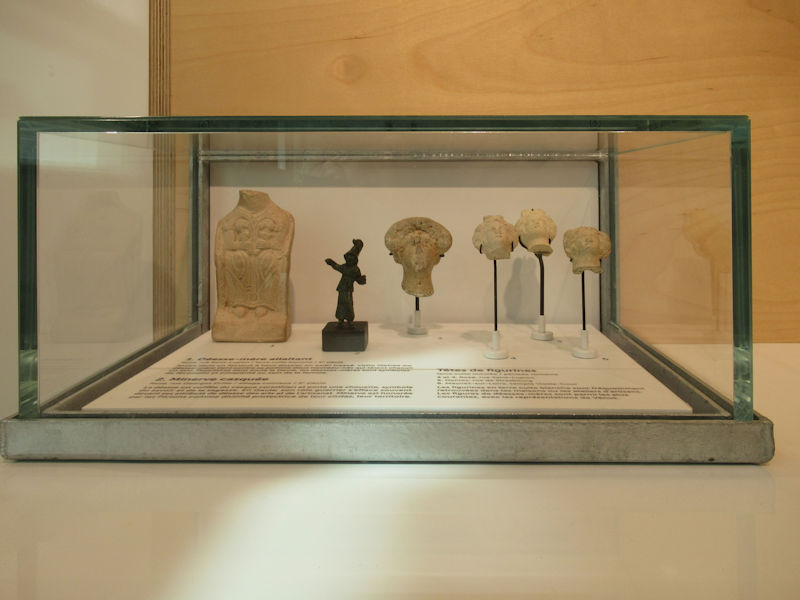
The strategic position of Ratiatum made it the ideal place to establish a port to promote trade, especially with the Namnètes, neighbors of the north of the Loire. Ceramics, now preserved in the departmental museum Thomas Dobré (closed for renovation), testify to exchanges with provinces sometimes very far away, for example the Palestinian region. In 2011, remains of monumental docks were discovered. This is an exceptional case in France, which indicates the wealth of the ancient city of Ratiatum.
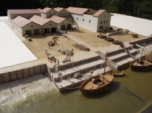
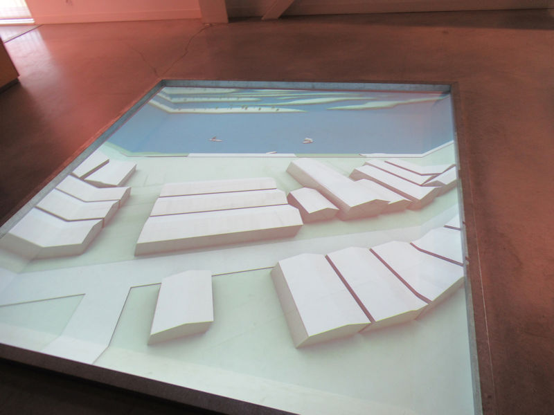
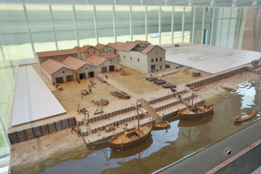
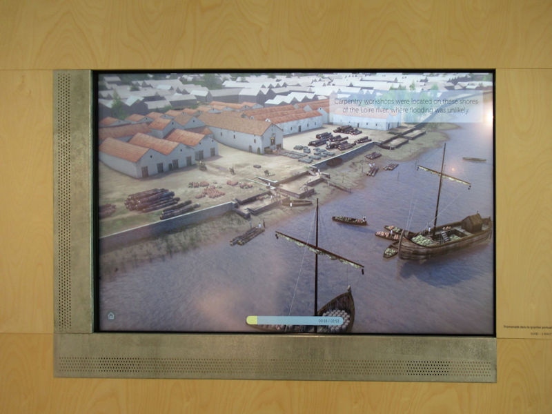
Digital reconstruction of the facilities of the Gallo-Roman port
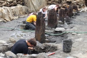
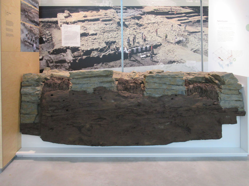
These terraced wharves advanced into the river, connected by bank walls. Composed of oak beams and micaschist fragments, their state of preservation is exceptional. On the front, a series of posts at regular intervals are fixed by mortise and tenon on a sandpit (a large horizontal beam). These woods have inscriptions: Roman numerals that served as benchmarks for the assembly. Dating from dendrochronology, using growth rings of trees, it is established that these poles come from oaks felled in the winter of 88-89 AD.
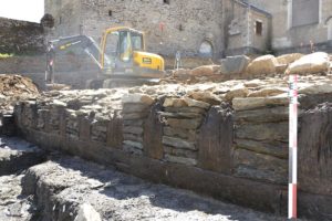
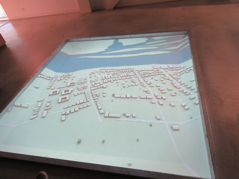
The monumental docks in front of the Saint-Lupien Chapel
In the photograph, the beams are covered with a geotextile veil to keep them in a damp environment and away from light. Near the docks were warehouses, workshops and shops, following a typical checkered pattern of Roman cities. At the end of the second century AD, the port began to decline. Scientists do not have the explanation yet. Several hypotheses are formulated, including that of a silting of the Loire at this location, making the port of Ratiatum obsolete. Today, the banks of the Loire are 500 meters from the site.
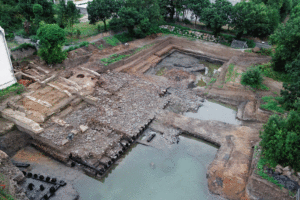
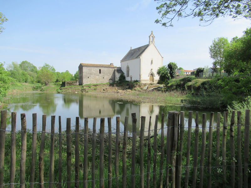
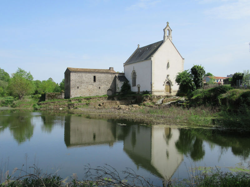
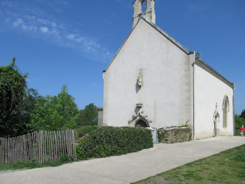
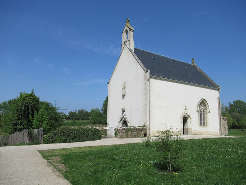
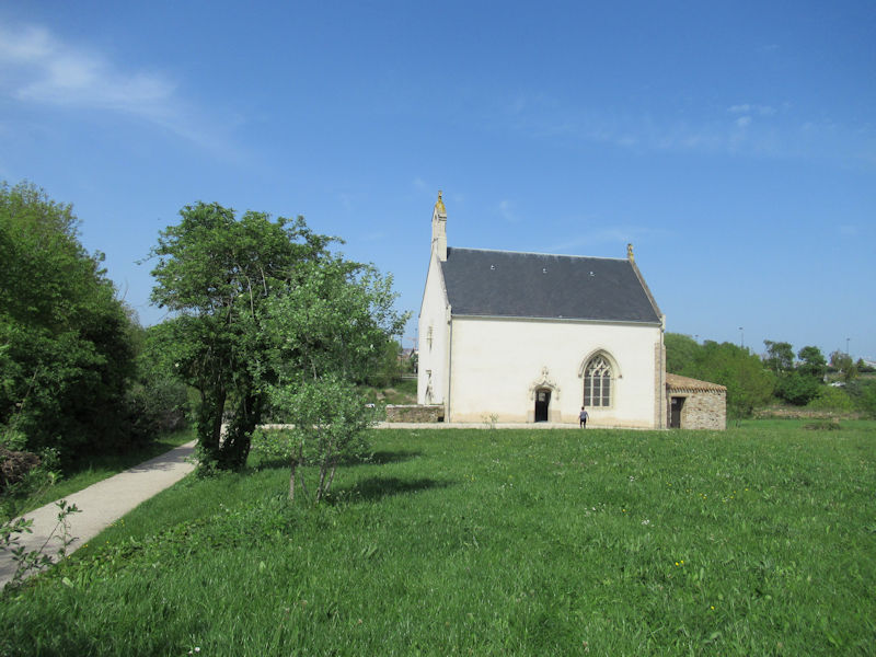
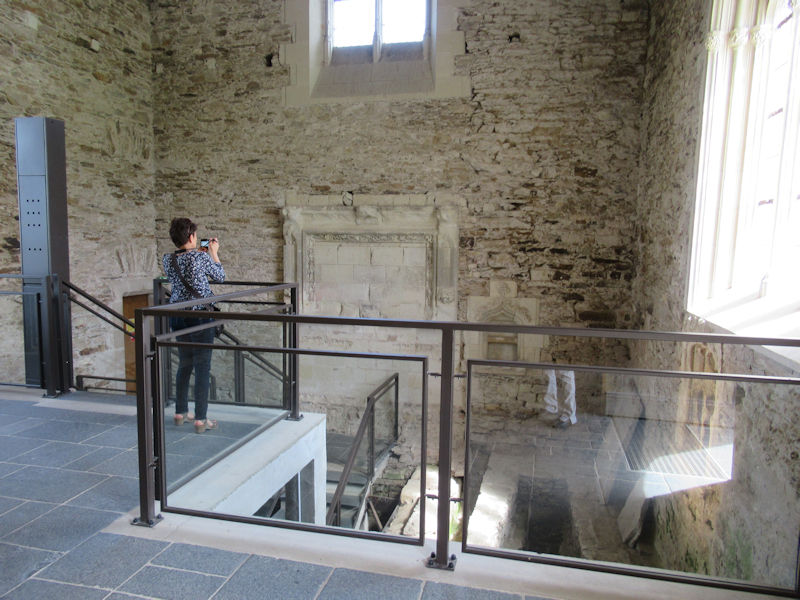
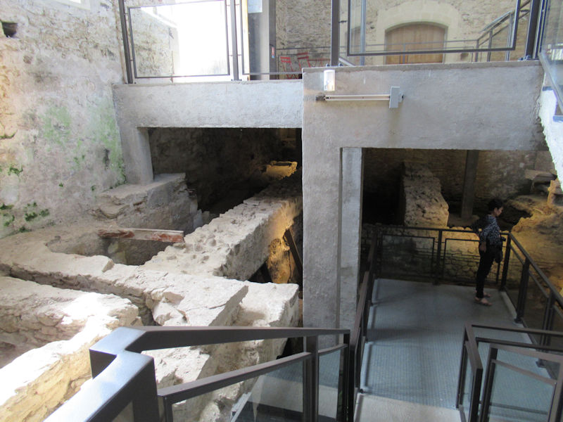
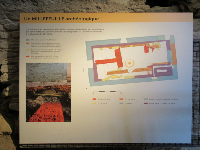
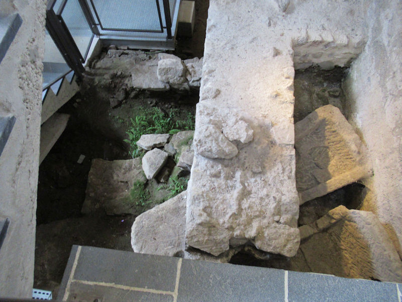
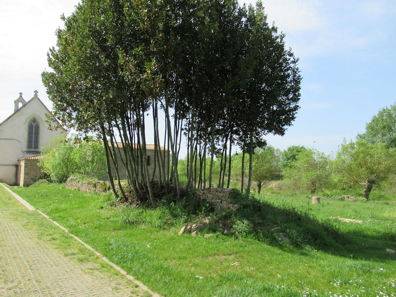
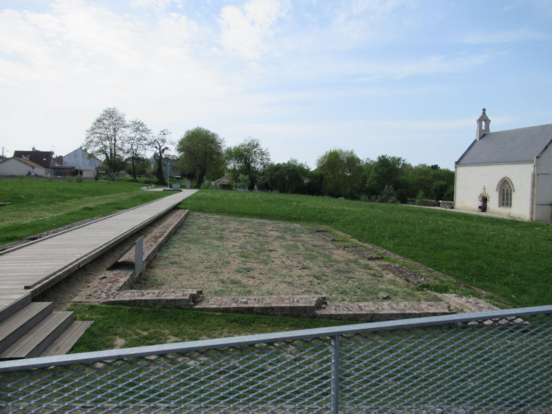
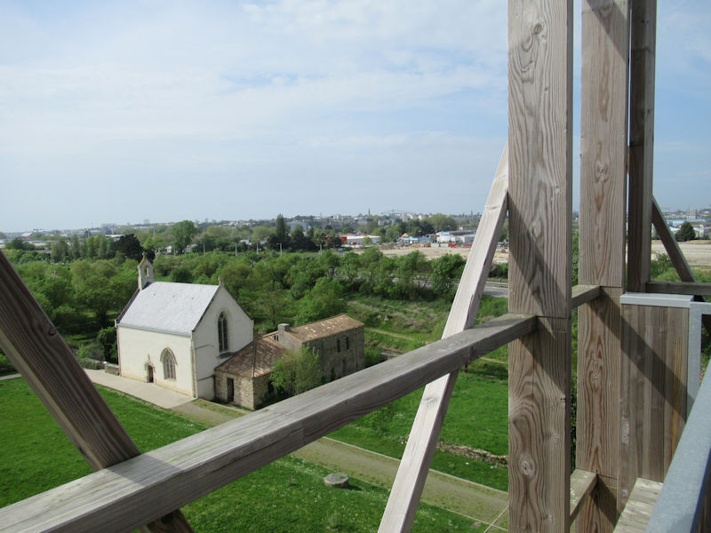
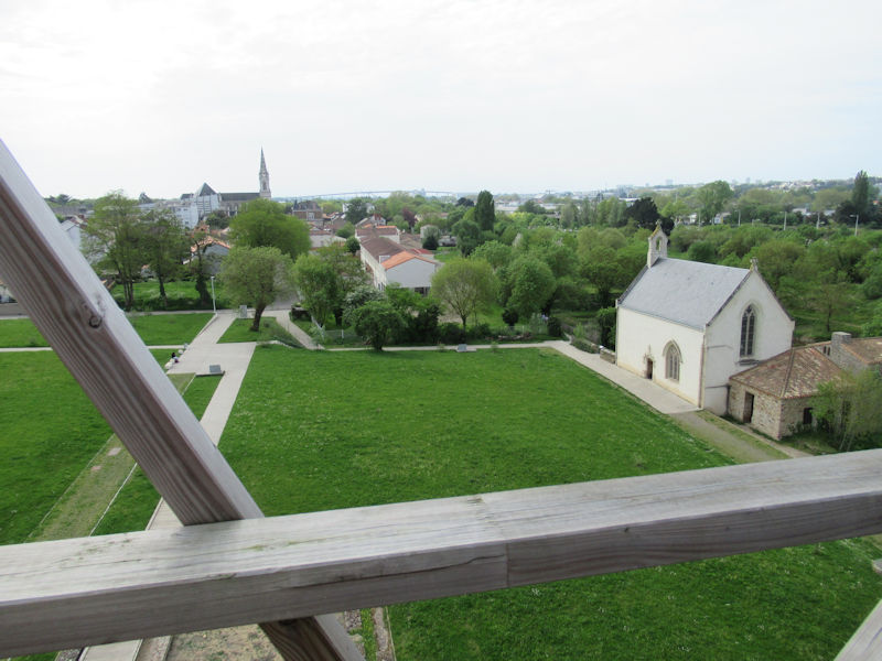
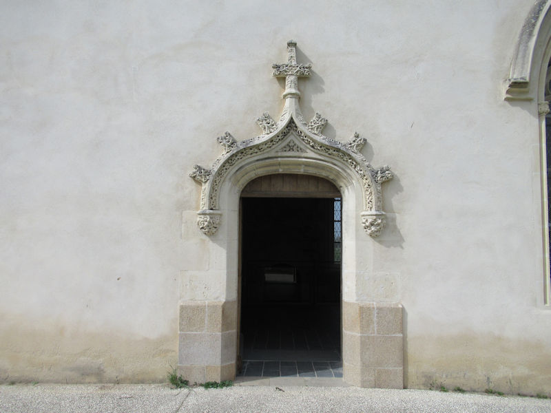
The archeological millefeuille of Saint-Lupien Chapel
The chapel Saint-Lupien is an archeological millefeuille because it contains vestiges of all eras. Two large Gallo-Roman walls intersect at right angles. They lined the street that overlooked the wharf.
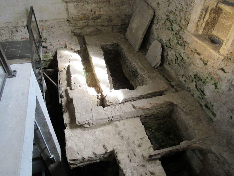
Gallo-Roman remains located under the chapel
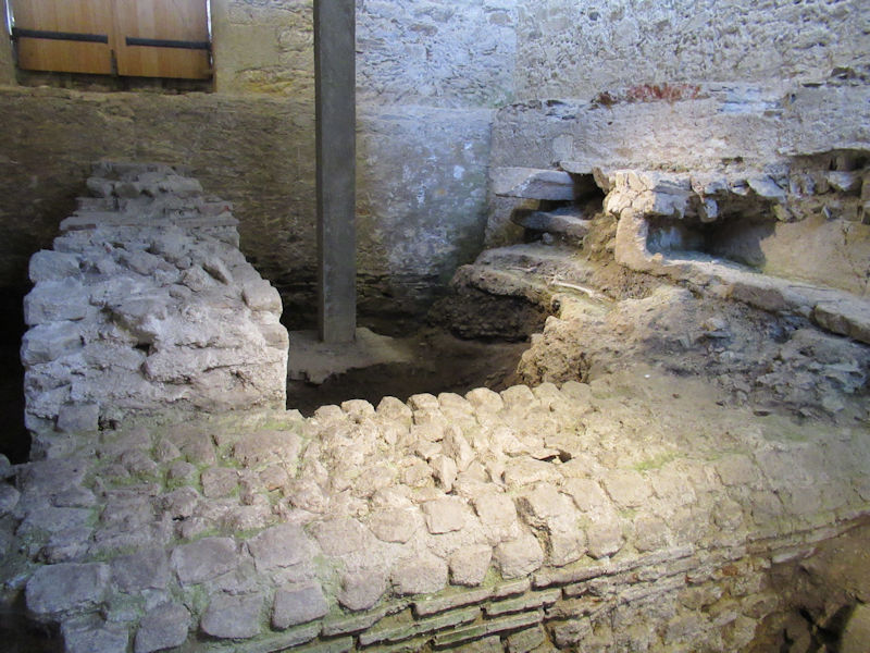
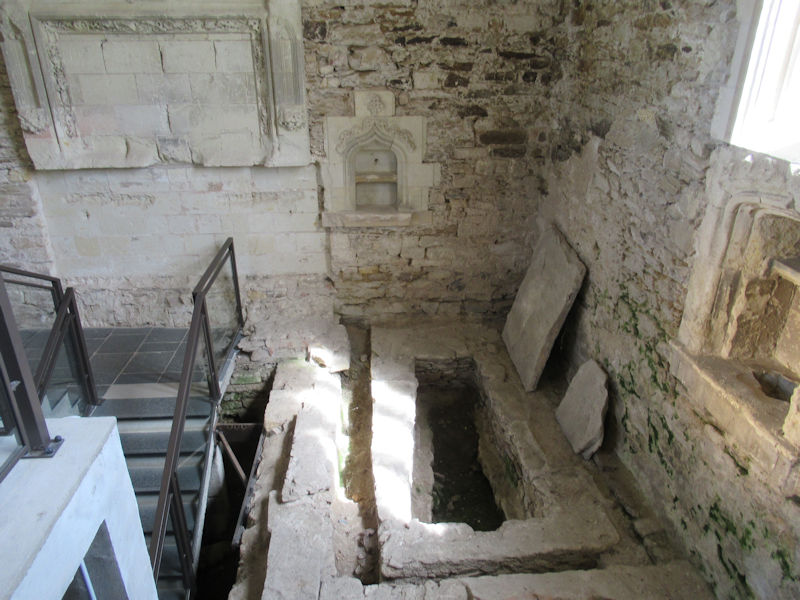
In the Middle Ages, the site becomes a center of pilgrimage around the tomb of one of the first Christians of Rezé: Saint Lupien. Until the twelfth century, a necropolis with different types of burials occupies the site. Sarcophagi are used for the foundations of the first chapel, built in the 9th century.
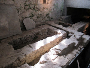
Sarcophagi and bones in the foundations of the first chapel

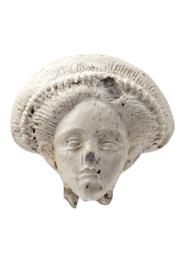
Sarcophagus with carved head
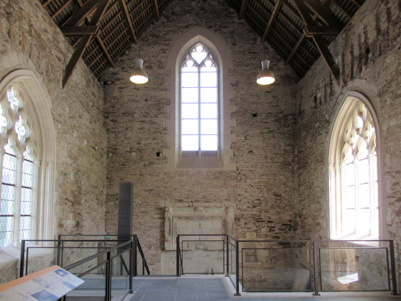
In the fourteenth century, a new chapel that corresponded to the current plan was erected. Until the eighteenth century, it belonged to the priory of Geneston Abbey. Sold at the Revolution, the chapel Saint-Lupien became a place of storage of hay, adjoining a farm. In the nineteenth century, the owner of the farm discovered bones that he believed belong to Saint Lupien himself and built a vault. At the same time, the walls were raised and a new frame installed.
The archaeological site of Saint-Lupien continues to unveil new secrets. Villas, workshops, thermal baths, a small temple, a main street with porticoes, warehouses and monumental docks make up the ancient port district of Ratiatum, on the site of the current Saint-Lupien area. In the Middle Ages, the use of some buildings for the necropolis allowed a conservation of the foundations which gives much information on the Gallo-Roman life but also on the evolution of the site. Today, the City of Rezé wishes to highlight this heritage and make the Saint-Lupien site a cultural and tourist center at the local and national levels.


Click Refresh to view slides